UN/LOCODE hub · France
FRTZU

Saint-Thurial

48.0333°, -1.9333°
1,770
Population
2
Transport functions

Transport Functions

Road
Multimodal
UN/LOCODE

Hub Profile

Place type
Populated place
GeoNames
Region
Brittany
GeoNames
Population
1,770
GeoNames
Time zone
Europe/Paris
GeoNames
Elevation
72 m
GeoNames

Location

Location of FRTZU
Natural Earth 10m (public domain) · Brittany · FRTZU · 48.03, -1.93GoogleOSMYandex

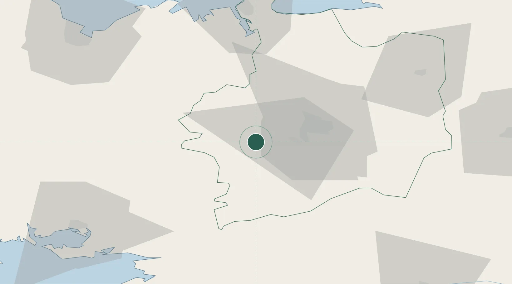
Nearby Logistics Neighbours

Cities
  1. 1Goven7 km
  2. 2Montfort-sur-Meu11 km
  3. 3Pont-Réan12 km
  4. 4Campel13 km
  5. 5Plélan-le-Grand13 km
Nearest neighbours — logibook spatial index (haversine) over the source coordinates
Ports
  1. 1Saint-Malo69 km
  2. 2Le Legue82 km
  3. 3Donges82 km
  4. 4Montoir83 km
  5. 5St Nazaire86 km
Nearest neighbours — logibook spatial index (haversine) over the source coordinates
Airports
  1. 1Rennes-Saint-Jacques Airport15 km
  2. 2Dinard Pleurtuit Saint-Malo airport63 km
  3. 3Vannes-Meucon Airport68 km
  4. 4Saint-Nazaire-Montoir Airport82 km
  5. 5Saint-Brieuc-Armor Airport88 km
Nearest neighbours — logibook spatial index (haversine) over the source coordinates
Trade Zones
  1. 1ZFU Saint-Nazaire88 km
  2. 2ZFU Nantes et Saint-Herblain92 km
  3. 3ZFU Angers117 km
  4. 4ZFU Le Mans153 km
  5. 5ZFU Alençon156 km
Nearest neighbours — logibook spatial index (haversine) over the source coordinates
DatabookThe Record of Consolidated Knowledge
France beyond logistics?
Browse databook

All Sources

LocationsUN/LOCODE
UN/LOCODE — free
LocationsGeoNames
CC BY 4.0
Portsthe NGA World Port Index
Public domain (US gov)
AirportsOurAirports
Public domain
Trade Zonesthe World Bank SEZ database
CC BY 4.0
Trade ZonesOpen Zone Map
CC BY
← France locations