Transport Functions
Port
Road
Hub Profile
Place type
Populated place
Region
Brittany
Time zone
Europe/Paris
Elevation
21 m
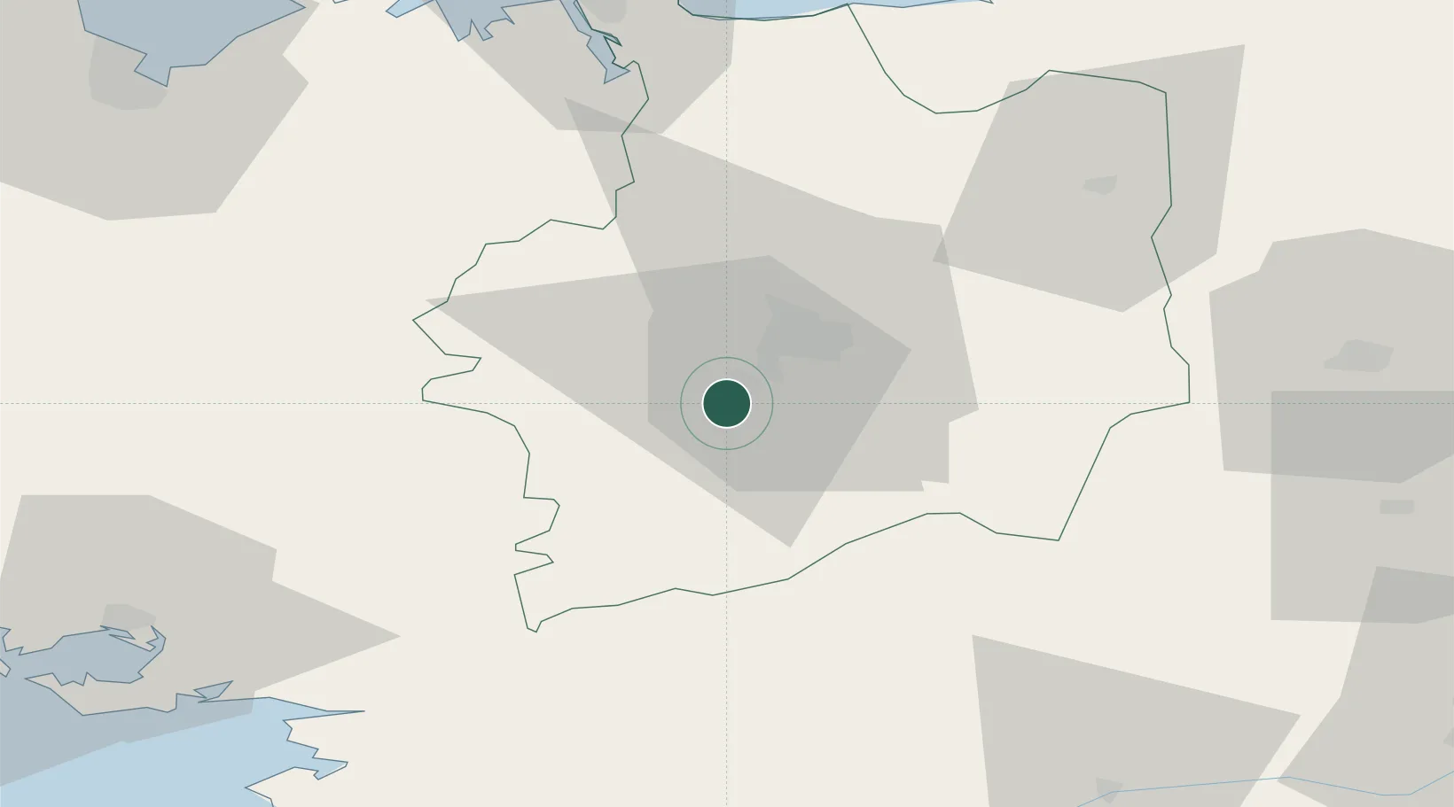
Location
Nearby Logistics Neighbours
Cities
- 1Guichen4 km
- 2Goven5 km
- 3Noyal-Châtillon-sur-Seiche10 km
- 4Pléchâtel11 km
- 5Saint-Thurial12 km
Ports
- 1Saint-Malo74 km
- 2Donges81 km
- 3Montoir82 km
- 4St Nazaire86 km
- 5Nantes90 km
Airports
Trade Zones
- 1ZFU Nantes et Saint-Herblain86 km
- 2ZFU Saint-Nazaire88 km
- 3ZFU Angers106 km
- 4ZFU Le Mans142 km
- 5ZFU Alençon146 km
DatabookThe Record of Consolidated Knowledge
France beyond logistics?