Transport Functions
Multimodal
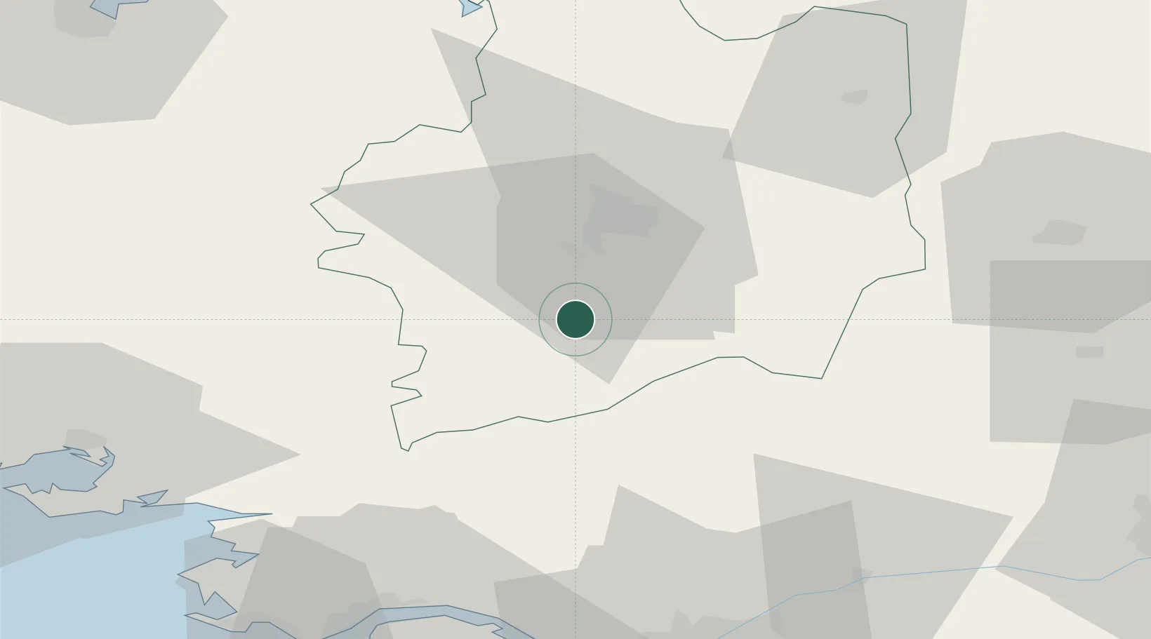
Hub Profile
Place type
Populated place
Region
Brittany
Population
2,128
Time zone
Europe/Paris
Elevation
72 m
Location
Nearby Logistics Neighbours
Cities
- 1Guichen8 km
- 2Pont-Réan11 km
- 3Goven13 km
- 4Noyal-Châtillon-sur-Seiche18 km
- 5Janzé19 km
Ports
- 1Donges71 km
- 2Montoir73 km
- 3St Nazaire76 km
- 4Nantes79 km
- 5Saint-Malo86 km
Airports
Trade Zones
- 1ZFU Nantes et Saint-Herblain75 km
- 2ZFU Saint-Nazaire80 km
- 3ZFU Angers98 km
- 4ZFU Le Mans140 km
- 5ZFU Alençon148 km
DatabookThe Record of Consolidated Knowledge
France beyond logistics?