Transport Functions
Multimodal
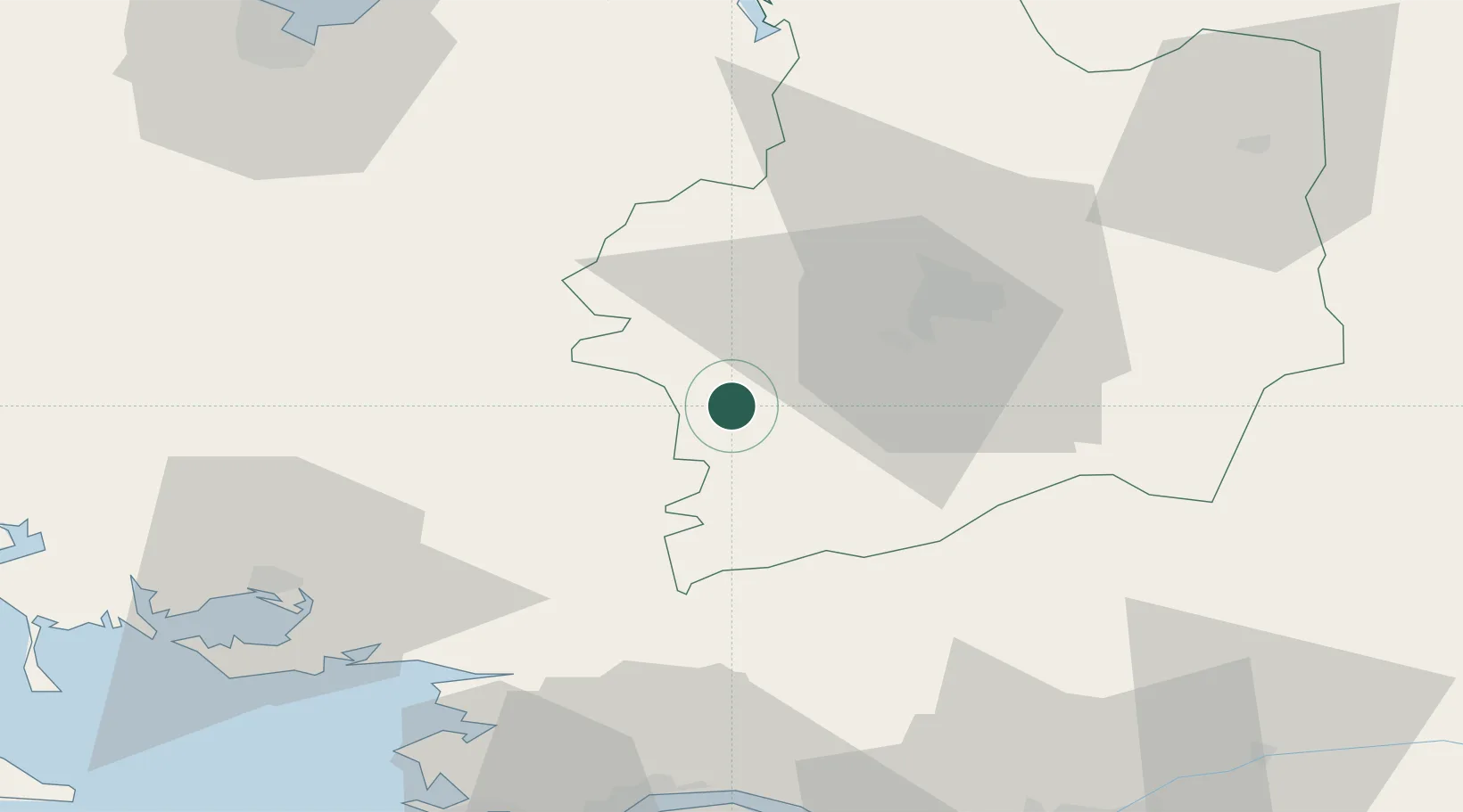
Hub Profile
Place type
Populated place
Region
Brittany
Population
439
Time zone
Europe/Paris
Elevation
79 m
Location
Nearby Logistics Neighbours
Cities
- 1Plélan-le-Grand10 km
- 2Saint-Thurial13 km
- 3Goven15 km
- 4Carentoir16 km
- 5Guichen18 km
Ports
- 1Donges71 km
- 2Montoir71 km
- 3St Nazaire74 km
- 4Saint-Malo80 km
- 5Le Legue86 km
Airports
Trade Zones
- 1ZFU Saint-Nazaire76 km
- 2ZFU Nantes et Saint-Herblain82 km
- 3ZFU Angers117 km
- 4ZFU Le Mans160 km
- 5ZFU Alençon165 km
DatabookThe Record of Consolidated Knowledge
France beyond logistics?