Transport Functions
Road
Multimodal
Hub Profile
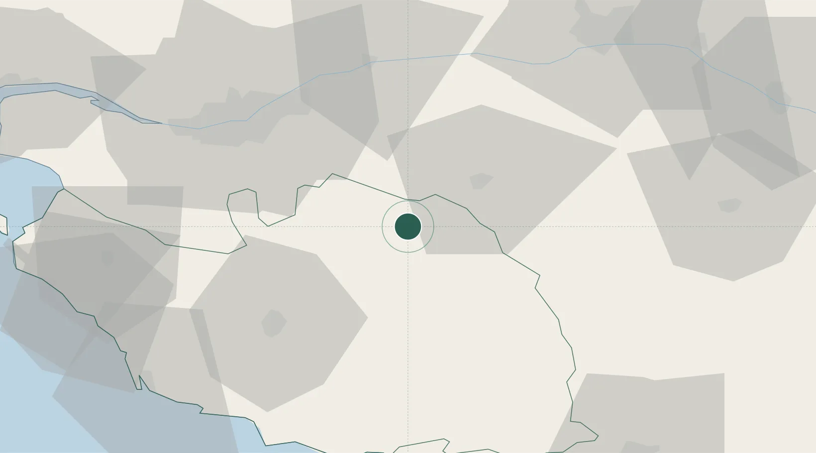
Place type
Populated place
Region
Pays de la Loire
Population
2,689
Time zone
Europe/Paris
Elevation
147 m
Location
Nearby Logistics Neighbours
Cities
- 1Bazoges-en-Paillers6 km
- 2Chambretaud8 km
- 3Les Herbiers8 km
- 4Mortagne-sur-Sèvre12 km
- 5La Romagne15 km
Ports
- 1Nantes48 km
- 2Les Sables D' Olonne74 km
- 3Donges86 km
- 4La Pallice86 km
- 5La Rochelle87 km
Airports
Trade Zones
- 1ZFU Nantes et Saint-Herblain58 km
- 2ZFU Angers71 km
- 3ZFU La Rochelle87 km
- 4ZFU Saint-Nazaire99 km
- 5ZFU Le Mans147 km
DatabookThe Record of Consolidated Knowledge
France beyond logistics?