Transport Functions
Road
Multimodal
Hub Profile
Place type
Populated place
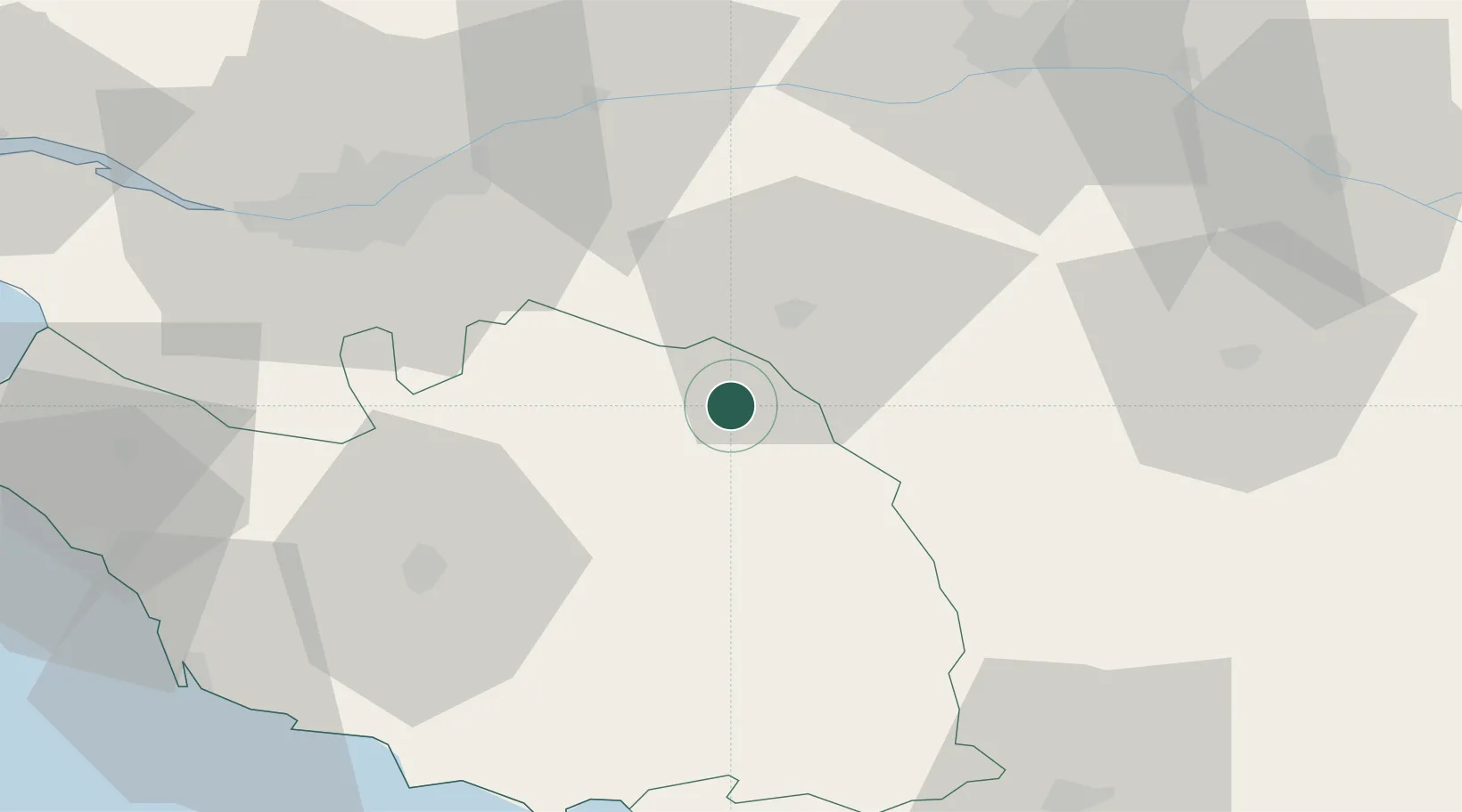
Region
Pays de la Loire
Population
1,377
Time zone
Europe/Paris
Elevation
206 m
Location
Nearby Logistics Neighbours
Cities
- 1Les Herbiers7 km
- 2La Gaubretière8 km
- 3Mortagne-sur-Sèvre9 km
- 4Saint-Michel-Mont-Mercure11 km
- 5La Flocellière12 km
Ports
- 1Nantes55 km
- 2Les Sables D' Olonne79 km
- 3La Pallice86 km
- 4La Rochelle86 km
- 5Donges94 km
Airports
Trade Zones
- 1ZFU Nantes et Saint-Herblain65 km
- 2ZFU Angers69 km
- 3ZFU La Rochelle86 km
- 4ZFU Saint-Nazaire107 km
- 5ZFU Le Mans144 km
DatabookThe Record of Consolidated Knowledge
France beyond logistics?