Transport Functions
Rail
Road
Hub Profile
Place type
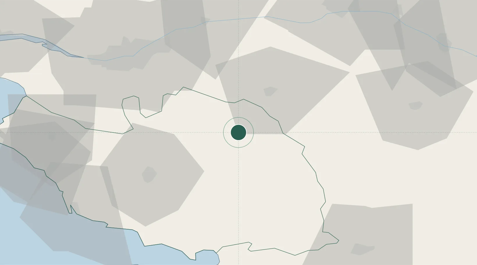
Populated place
Region
Pays de la Loire
Population
15,664
Time zone
Europe/Paris
Elevation
108 m
Location
Nearby Logistics Neighbours
Cities
- 1Chambretaud7 km
- 2La Gaubretière8 km
- 3Bazoges-en-Paillers10 km
- 4Saint-Michel-Mont-Mercure11 km
- 5La Flocellière12 km
Ports
- 1Nantes56 km
- 2Les Sables D' Olonne72 km
- 3La Pallice79 km
- 4La Rochelle80 km
- 5Donges93 km
Airports
Trade Zones
- 1ZFU Nantes et Saint-Herblain65 km
- 2ZFU Angers75 km
- 3ZFU La Rochelle80 km
- 4ZFU Saint-Nazaire106 km
- 5ZFU Le Mans151 km
DatabookThe Record of Consolidated Knowledge
France beyond logistics?