Transport Functions
Port
Multimodal
Hub Profile
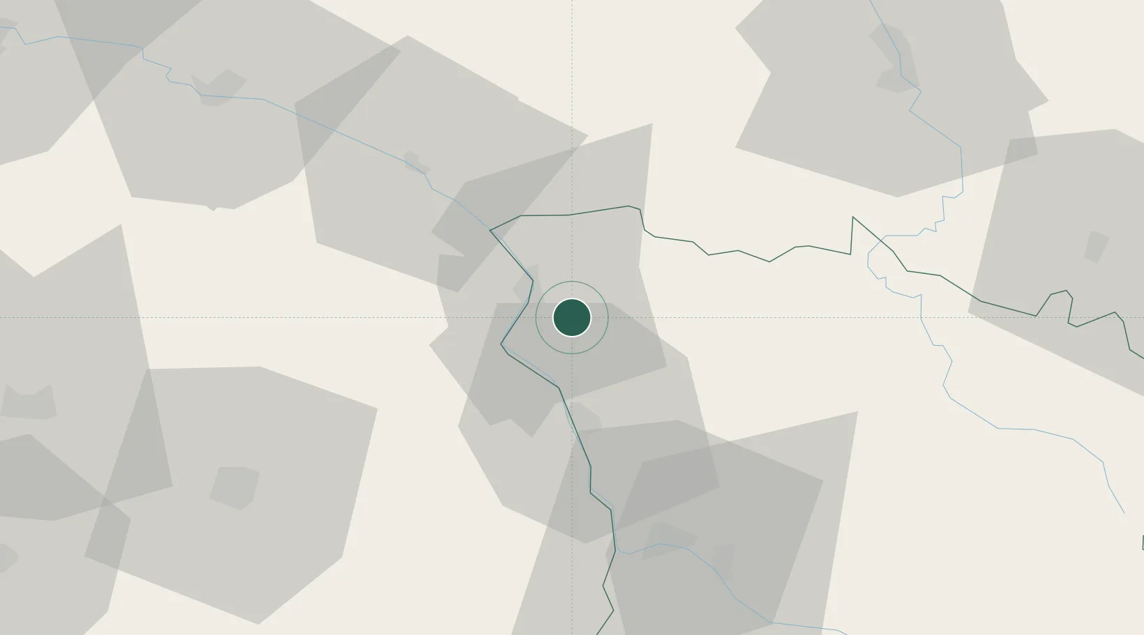
Place type
Populated place
Region
Bourgogne
Population
400
Time zone
Europe/Paris
Elevation
177 m
Location
Nearby Logistics Neighbours
Cities
- 1Saint-Père5 km
- 2Cosne-Cours-sur-Loire7 km
- 3Myennes8 km
- 4Saint-Andelain8 km
- 5Bannay9 km
Ports
- 1Port Of Rouen271 km
- 2Honfleur306 km
- 3Deauville308 km
- 4Port Of Le Havre316 km
- 5Dieppe317 km
Airports
- 1Nevers-Fourchambault Airport43 km
- 2Avord (BA 702) Air Base46 km
- 3Bourges airport60 km
- 4Auxerre Branches airport64 km
- 5Châteauroux Déols airport112 km
Trade Zones
- 1ZFU Bourges61 km
- 2ZFU Sens93 km
- 3ZFU Orléans103 km
- 4ZFU Montereau-Fault-Yonne112 km
- 5ZFU La Chapelle Saint-Luc, Les Noës-près-Troyes, Troyes, Sainte-Savine128 km
DatabookThe Record of Consolidated Knowledge
France beyond logistics?