Transport Functions
Rail
Road
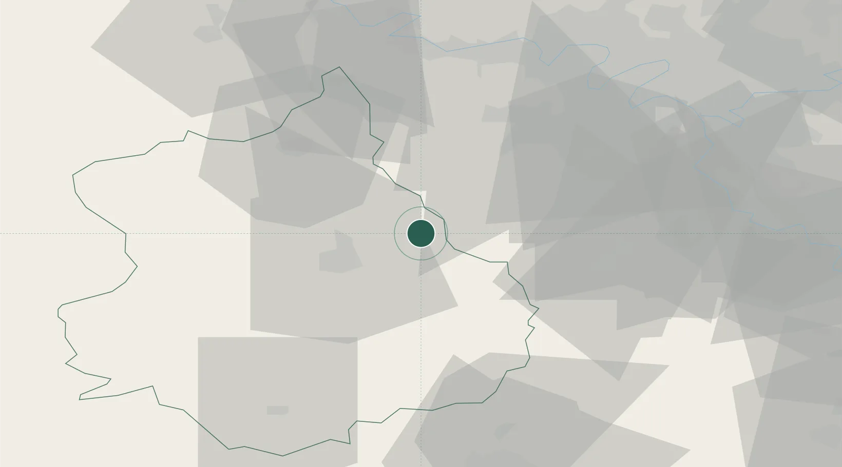
Hub Profile
Place type
Populated place
Region
Centre-Val de Loire
Population
574
Time zone
Europe/Paris
Elevation
120 m
Location
Nearby Logistics Neighbours
Cities
- 1Umpeau6 km
- 2Saint-Piat9 km
- 3Gasville-Oisème11 km
- 4Bretonville11 km
- 5Francourville13 km
Ports
- 1Port Of Rouen114 km
- 2Honfleur147 km
- 3Deauville151 km
- 4Port Of Le Havre158 km
- 5Dieppe164 km
Airports
- 1Toussus-le-Noble Airport40 km
- 2Vélizy-Villacoublay Air Base47 km
- 3Paris-Orly Airport55 km
- 4Châteaudun Airfield56 km
- 5Orléans-Bricy (BA 123) Air Base59 km
Trade Zones
- 1ZFU Dreux et Sainte-Gemme-Moronval35 km
- 2ZFU Trappes36 km
- 3ZFU Grigny Viry-Châtillon53 km
- 4ZFU Mantes-la-Jolie53 km
- 5ZFU Les Mureaux54 km
DatabookThe Record of Consolidated Knowledge
France beyond logistics?