Transport Functions
Road
Multimodal
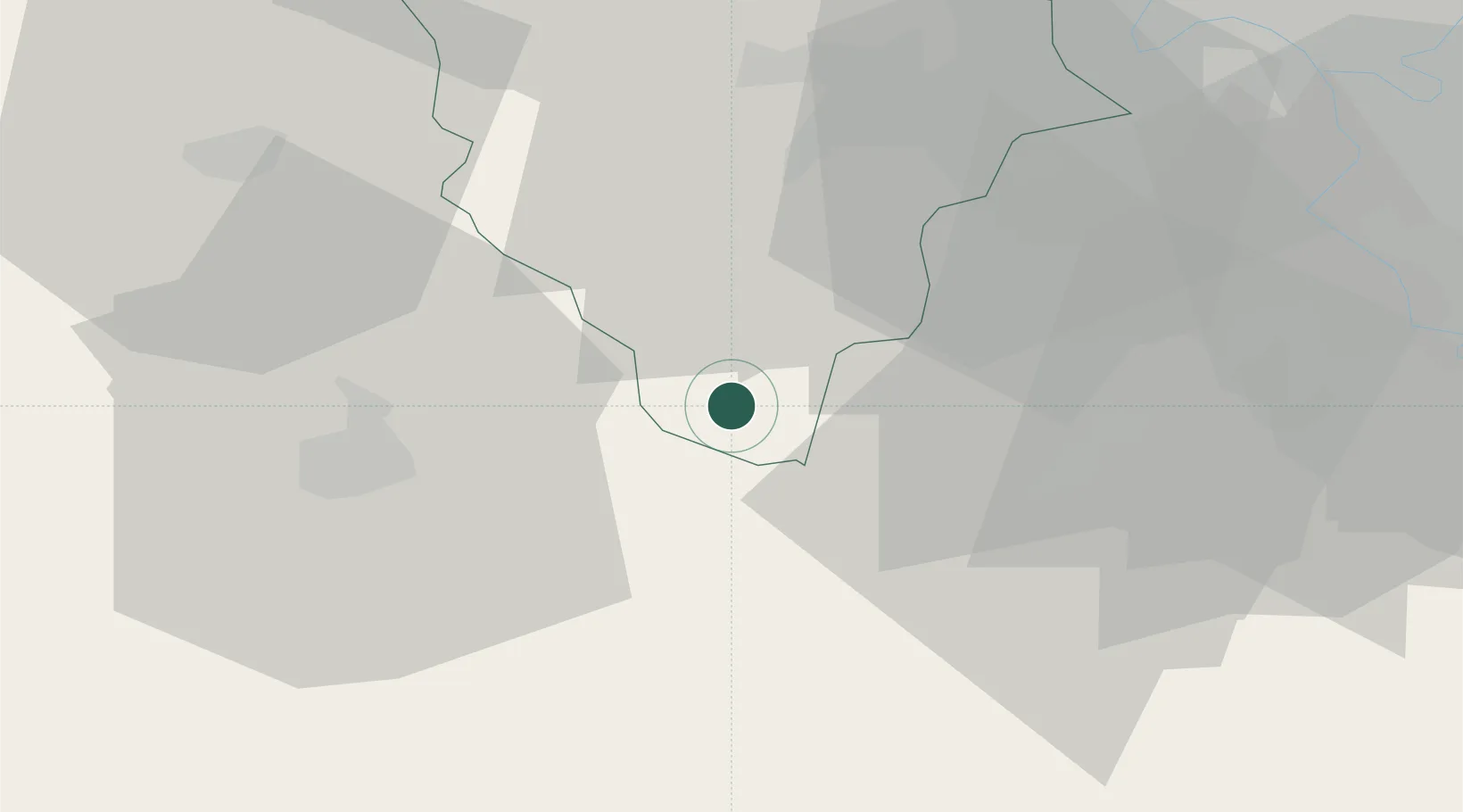
Hub Profile
Place type
Populated place
Region
Île-de-France
Time zone
Europe/Paris
Elevation
157 m
Location
Nearby Logistics Neighbours
Cities
- 1Sonchamp8 km
- 2Garancières-en-Beauce9 km
- 3Ymeray11 km
- 4Umpeau13 km
- 5Saint-Cyr-sous-Dourdan15 km
Ports
- 1Port Of Rouen120 km
- 2Honfleur157 km
- 3Deauville161 km
- 4Port Of Le Havre167 km
- 5Dieppe169 km
Airports
- 1Toussus-le-Noble Airport34 km
- 2Vélizy-Villacoublay Air Base40 km
- 3Paris-Orly Airport46 km
- 4Orléans-Bricy (BA 123) Air Base57 km
- 5Châteaudun Airfield60 km
Trade Zones
- 1ZFU Trappes33 km
- 2ZFU Grigny Viry-Châtillon43 km
- 3ZFU Corbeil-Evry44 km
- 4ZFU Dreux et Sainte-Gemme-Moronval44 km
- 5ZFU Vitry-sur-Seine50 km
DatabookThe Record of Consolidated Knowledge
France beyond logistics?