Transport Functions
Road
Multimodal
Hub Profile
Place type
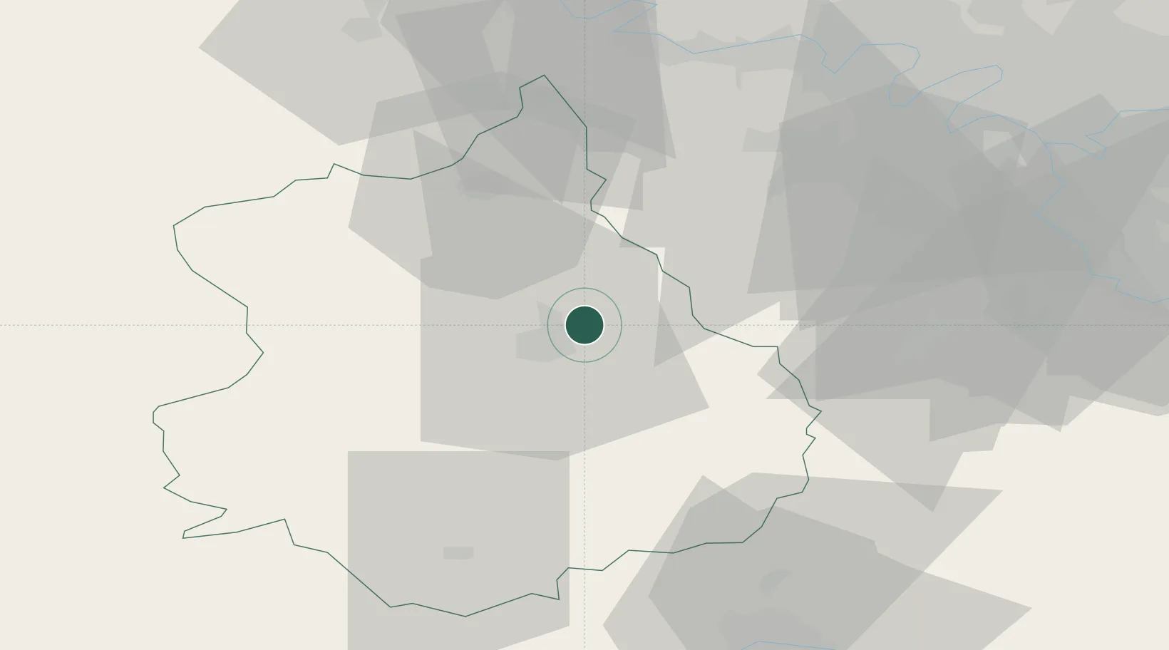
Populated place
Region
Centre-Val de Loire
Population
1,189
Time zone
Europe/Paris
Elevation
130 m
Location
Nearby Logistics Neighbours
Cities
- 1Saint-Prest4 km
- 2Nogent-le-Phaye6 km
- 3Saint-Piat6 km
- 4Chartres7 km
- 5Umpeau9 km
Ports
- 1Port Of Rouen114 km
- 2Honfleur143 km
- 3Deauville146 km
- 4Port Of Le Havre154 km
- 5Ouistreham160 km
Airports
- 1Châteaudun Airfield49 km
- 2Toussus-le-Noble Airport50 km
- 3Vélizy-Villacoublay Air Base57 km
- 4Orléans-Bricy (BA 123) Air Base57 km
- 5Paris-Orly Airport66 km
Trade Zones
- 1ZFU Dreux et Sainte-Gemme-Moronval33 km
- 2ZFU Trappes45 km
- 3ZFU Mantes-la-Jolie57 km
- 4ZFU Les Mureaux61 km
- 5ZFU Grigny Viry-Châtillon63 km
DatabookThe Record of Consolidated Knowledge
France beyond logistics?