Transport Functions
Rail
Road
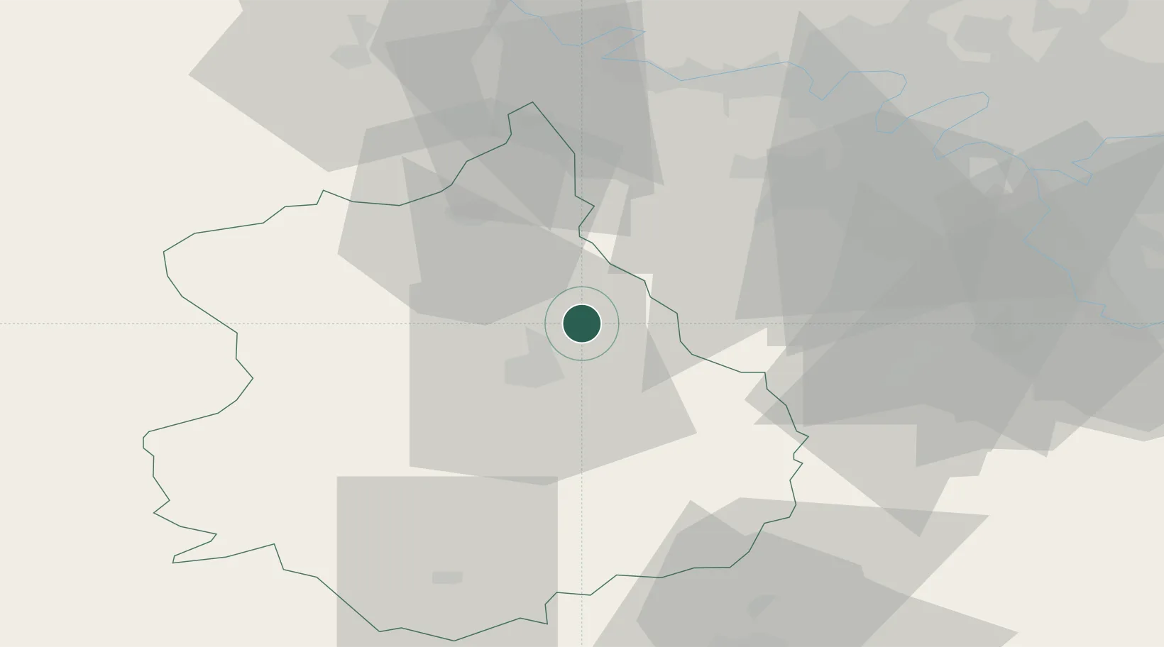
Hub Profile
Place type
Populated place
Region
Centre-Val de Loire
Population
1,114
Time zone
Europe/Paris
Elevation
107 m
Location
Nearby Logistics Neighbours
Cities
- 1Gasville-Oisème6 km
- 2Saint-Prest7 km
- 3Ymeray9 km
- 4Villiers-le-Morhier9 km
- 5Umpeau11 km
Ports
- 1Port Of Rouen109 km
- 2Honfleur140 km
- 3Deauville144 km
- 4Port Of Le Havre150 km
- 5Ouistreham158 km
Airports
Trade Zones
- 1ZFU Dreux et Sainte-Gemme-Moronval28 km
- 2ZFU Trappes41 km
- 3ZFU Mantes-la-Jolie52 km
- 4ZFU Les Mureaux55 km
- 5ZFU Grigny Viry-Châtillon60 km
DatabookThe Record of Consolidated Knowledge
France beyond logistics?