Transport Functions
Rail
Road
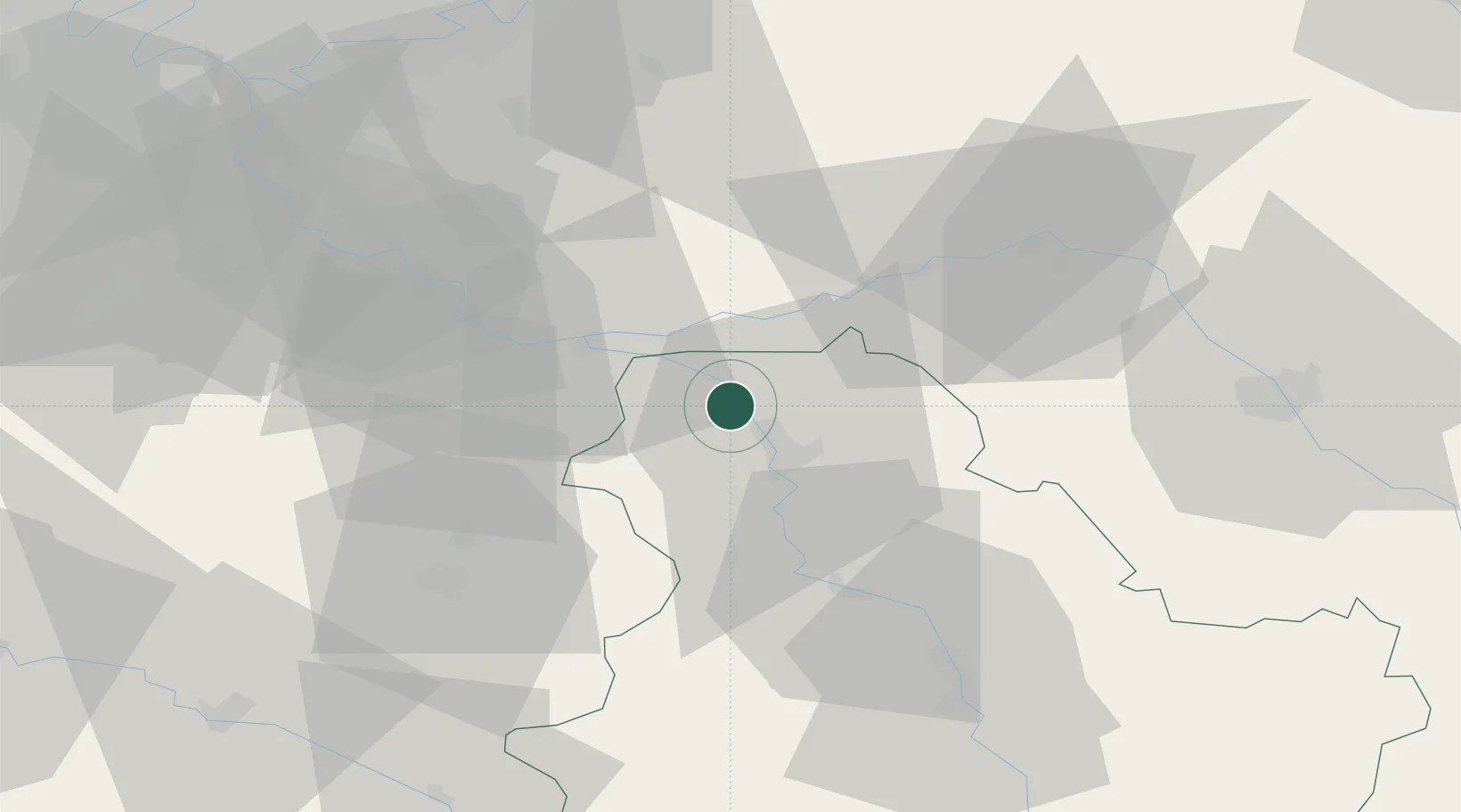
Hub Profile
Place type
Populated place
Region
Bourgogne
Population
3,272
Time zone
Europe/Paris
Elevation
81 m
Location
Nearby Logistics Neighbours
Cities
- 1Cuy6 km
- 2Sens11 km
- 3Villenauxe15 km
- 4Mouy-sur-Seine15 km
- 5Malay-le-Grand16 km
Ports
- 1Port Of Rouen203 km
- 2Le Treport239 km
- 3Dieppe240 km
- 4Saint-Valery-Sur-Somme241 km
- 5Honfleur252 km
Airports
- 1Melun-Villaroche Airfield53 km
- 2Auxerre Branches airport53 km
- 3Troyes-Barberey Airport61 km
- 4Paris-Orly Airport78 km
- 5Vélizy-Villacoublay Air Base92 km
Trade Zones
DatabookThe Record of Consolidated Knowledge
France beyond logistics?