Transport Functions
Multimodal
Hub Profile
Place type
Populated place
Region
Nouvelle-Aquitaine
Population
699
Time zone
Europe/Paris
Elevation
46 m
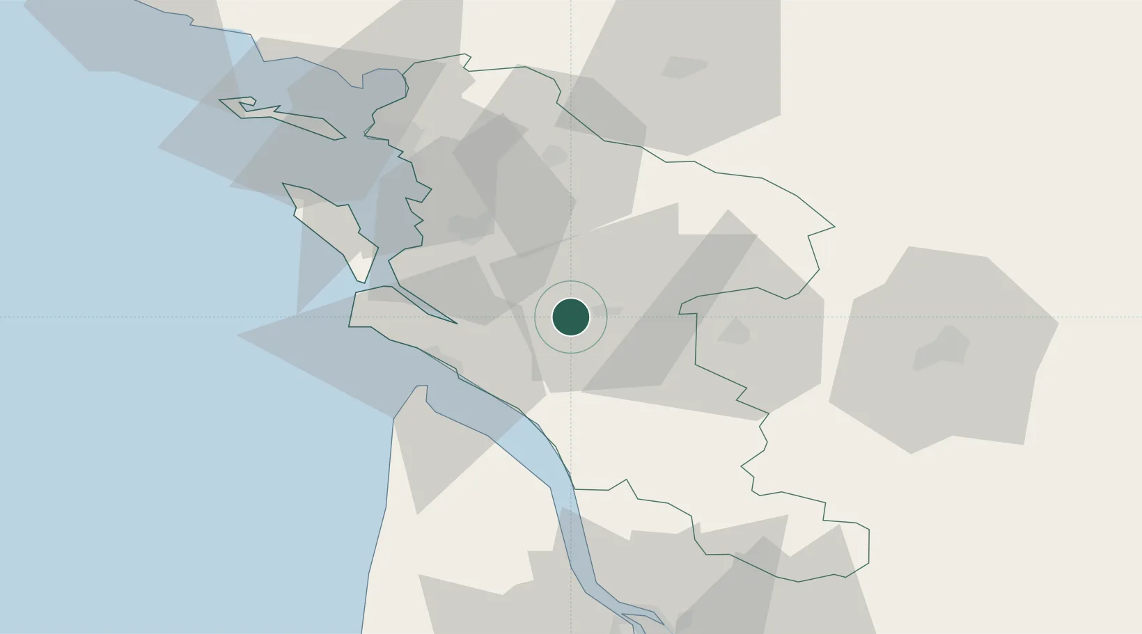
Location
Nearby Logistics Neighbours
Cities
- 1Saintes7 km
- 2Chermignac7 km
- 3Soulignonne8 km
- 4Thénac9 km
- 5Saint-Vaize11 km
Ports
- 1Tonnay Charente26 km
- 2Rochefort29 km
- 3Le Verdon33 km
- 4La Rochelle57 km
- 5Pauillac59 km
Airports
Trade Zones
- 1ZFU La Rochelle61 km
- 2Port de Bordeaux93 km
- 3ZFU Hauts de Garonne101 km
- 4ZFU Nantes et Saint-Herblain182 km
- 5ZFU Angers195 km
DatabookThe Record of Consolidated Knowledge
France beyond logistics?