Transport Functions
Multimodal
Hub Profile
Place type
Populated place
Region
Nouvelle-Aquitaine
Population
1,092
Time zone
Europe/Paris
Elevation
52 m
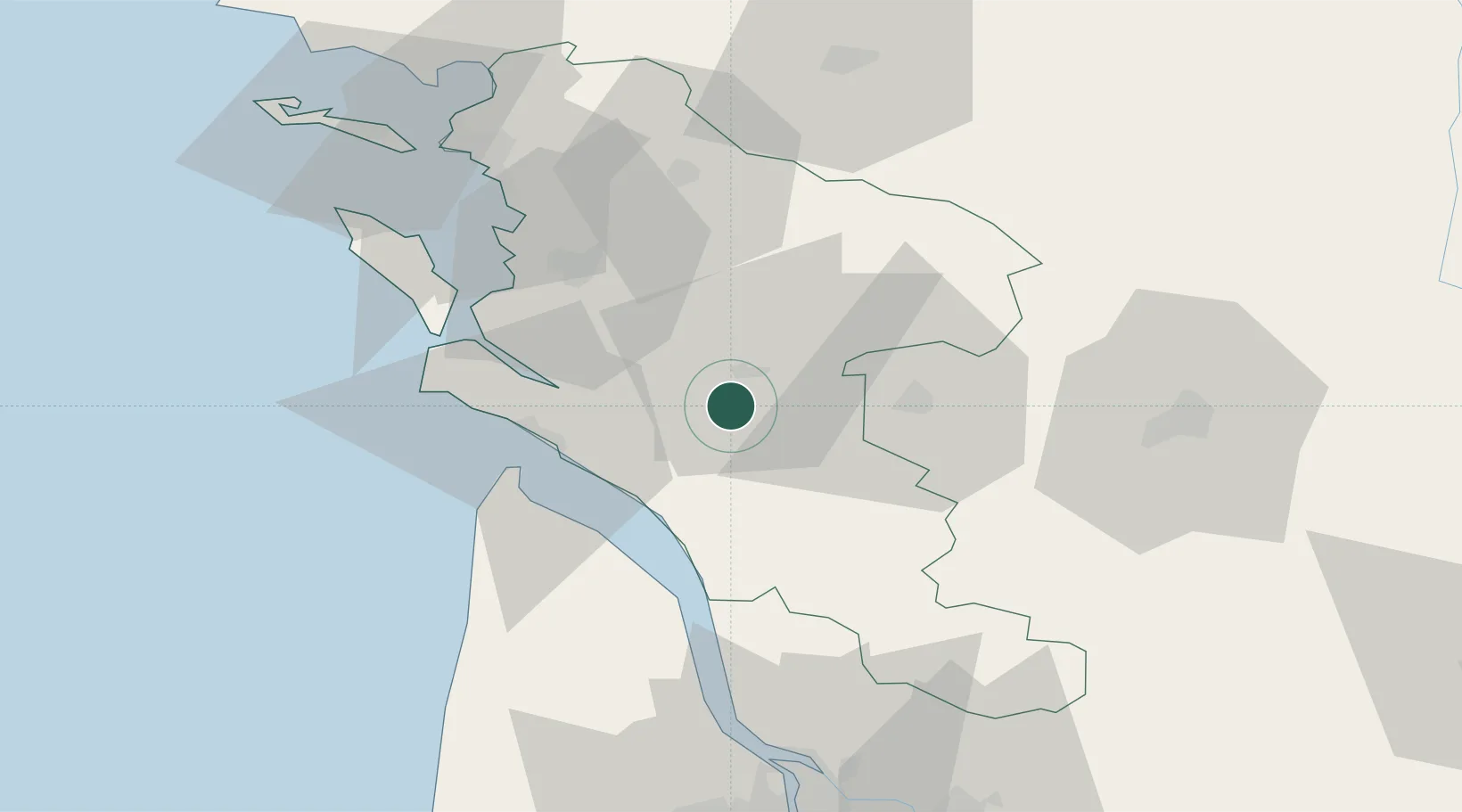
Location
Nearby Logistics Neighbours
Cities
- 1Thénac2 km
- 2Pessines7 km
- 3Saintes8 km
- 4Chaniers10 km
- 5Saint-André-de-Lidon11 km
Ports
- 1Tonnay Charente33 km
- 2Le Verdon33 km
- 3Rochefort35 km
- 4Pauillac54 km
- 5Blaye61 km
Airports
Trade Zones
- 1ZFU La Rochelle68 km
- 2Port de Bordeaux87 km
- 3ZFU Hauts de Garonne95 km
- 4ZFU Nantes et Saint-Herblain189 km
- 5ZFU Angers200 km
DatabookThe Record of Consolidated Knowledge
France beyond logistics?