Transport Functions
Multimodal
Hub Profile
Place type
Populated place
Region
Nouvelle-Aquitaine
Population
578
Time zone
Europe/Paris
Elevation
28 m
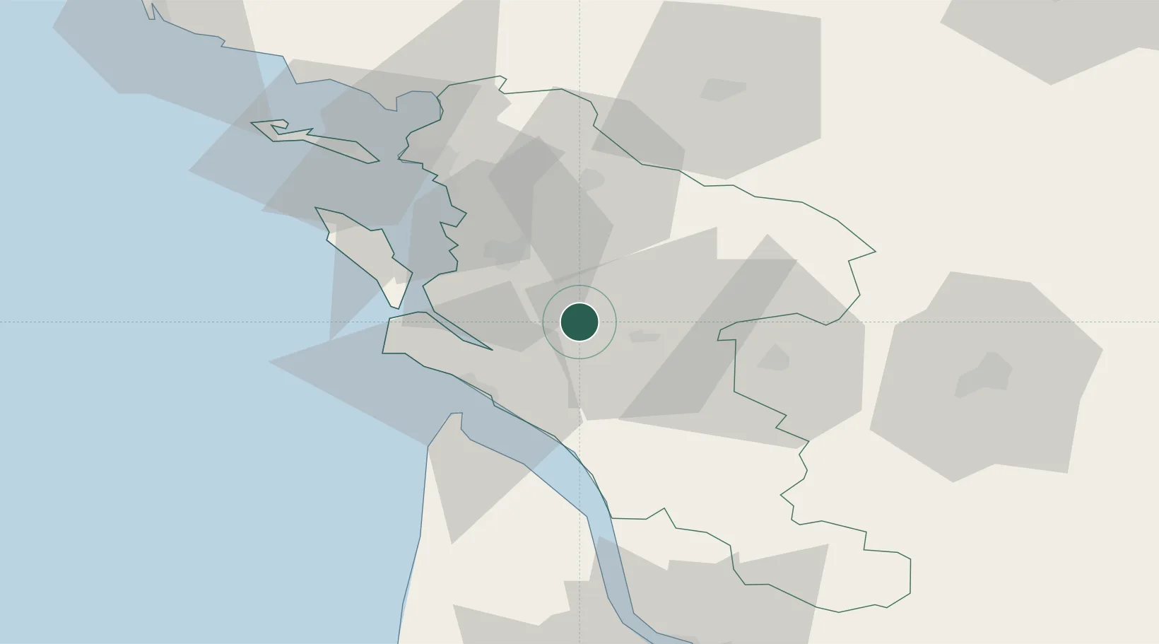
Location
Nearby Logistics Neighbours
Cities
- 1Pessines8 km
- 2Sainte-Gemme9 km
- 3Pont-l'Abbé-d'Arnoult10 km
- 4Sablonceaux11 km
- 5Saint-Vaize12 km
Ports
- 1Tonnay Charente19 km
- 2Rochefort21 km
- 3Le Verdon33 km
- 4La Rochelle50 km
- 5La Pallice54 km
Airports
Trade Zones
- 1ZFU La Rochelle54 km
- 2Port de Bordeaux99 km
- 3ZFU Hauts de Garonne107 km
- 4ZFU Nantes et Saint-Herblain175 km
- 5ZFU Angers189 km
DatabookThe Record of Consolidated Knowledge
France beyond logistics?