Medium airport · France
Cognac-Châteaubernard (BA 709) Air BaseLFBG
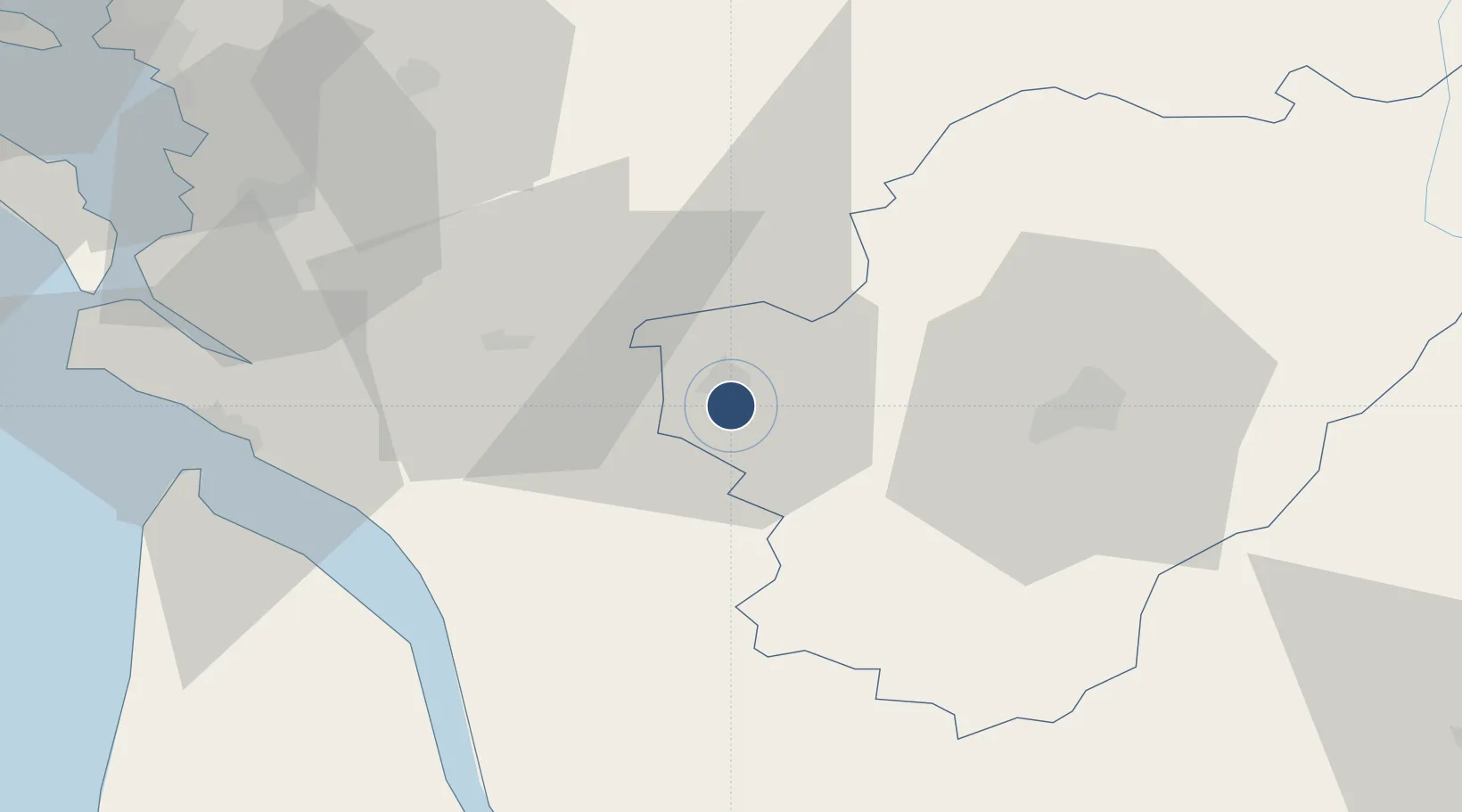
45.6583°, -0.3175°
7,949 ft
Longest runway
2
Runways
102 ft
Elevation
Runway & Layout

Radio Frequencies
TWR
120.075 MHz
COGNAC TWR
APP
29.372 MHz
COGNAC APP
APP
122.55 MHz
COGNAC APP
OPS
139.925 MHz
COGNAC OPS
Navaids
CGC TACAN Cognac 116.20 MHz
CGC NDB Cognac 354 kHz
CNA VOR-DME Cognac 114.65 MHz
Runways · 2
| Runway | Dimensions | Surface | True heading | Lit |
|---|---|---|---|---|
| 05/23 | 7,949 × 148ft | Asphalt / concrete | 050° | ✓ |
| 08/26 | 5,951 × 197ft | Macadam | 084° | ✓ |
Airport Specifications
IATA code
CNG
ICAO code
LFBG
Airport class
Medium airport
Scheduled service
No
Runway surface
Asphalt / concrete
Served city
Cognac/Châteaubernard
Location
Nearby Logistics Neighbours
Airports
Cities
- 1Châteaubernard2 km
- 2Genté3 km
- 3Saint-Brice4 km
- 4Cognac4 km
- 5Javrezac5 km
Ports
- 1Tonnay Charente55 km
- 2Rochefort58 km
- 3Le Verdon58 km
- 4Pauillac61 km
- 5Blaye64 km
Trade Zones
- 1Port de Bordeaux85 km
- 2ZFU La Rochelle89 km
- 3ZFU Hauts de Garonne94 km
- 4ZFU Nantes et Saint-Herblain204 km
- 5ZFU Angers204 km
DatabookThe Record of Consolidated Knowledge
France beyond logistics?