Transport Functions
Road
Multimodal
Hub Profile
Place type
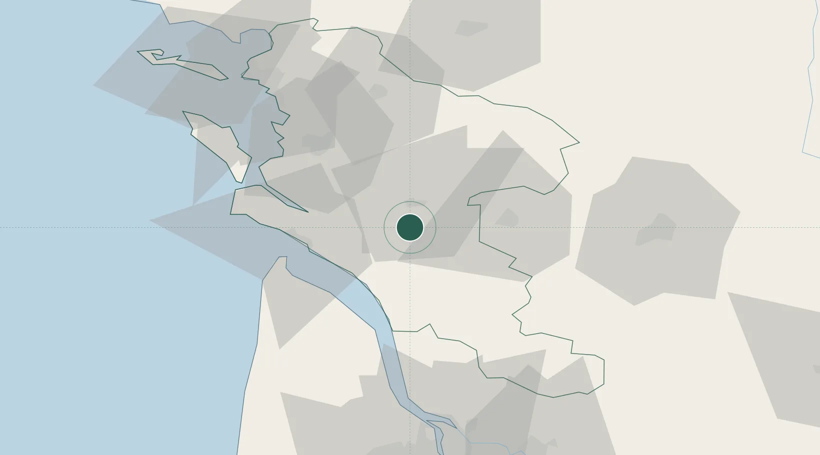
Populated place
Region
Nouvelle-Aquitaine
Population
1,243
Time zone
Europe/Paris
Elevation
59 m
Location
Nearby Logistics Neighbours
Cities
- 1Chermignac2 km
- 2Pessines9 km
- 3Saintes9 km
- 4Chaniers10 km
- 5Saint-André-de-Lidon11 km
Ports
- 1Le Verdon34 km
- 2Tonnay Charente35 km
- 3Rochefort38 km
- 4Pauillac53 km
- 5Blaye59 km
Airports
Trade Zones
- 1ZFU La Rochelle70 km
- 2Port de Bordeaux85 km
- 3ZFU Hauts de Garonne93 km
- 4ZFU Nantes et Saint-Herblain191 km
- 5ZFU Angers202 km
DatabookThe Record of Consolidated Knowledge
France beyond logistics?