Transport Functions
Port
Road
Hub Profile
Place type
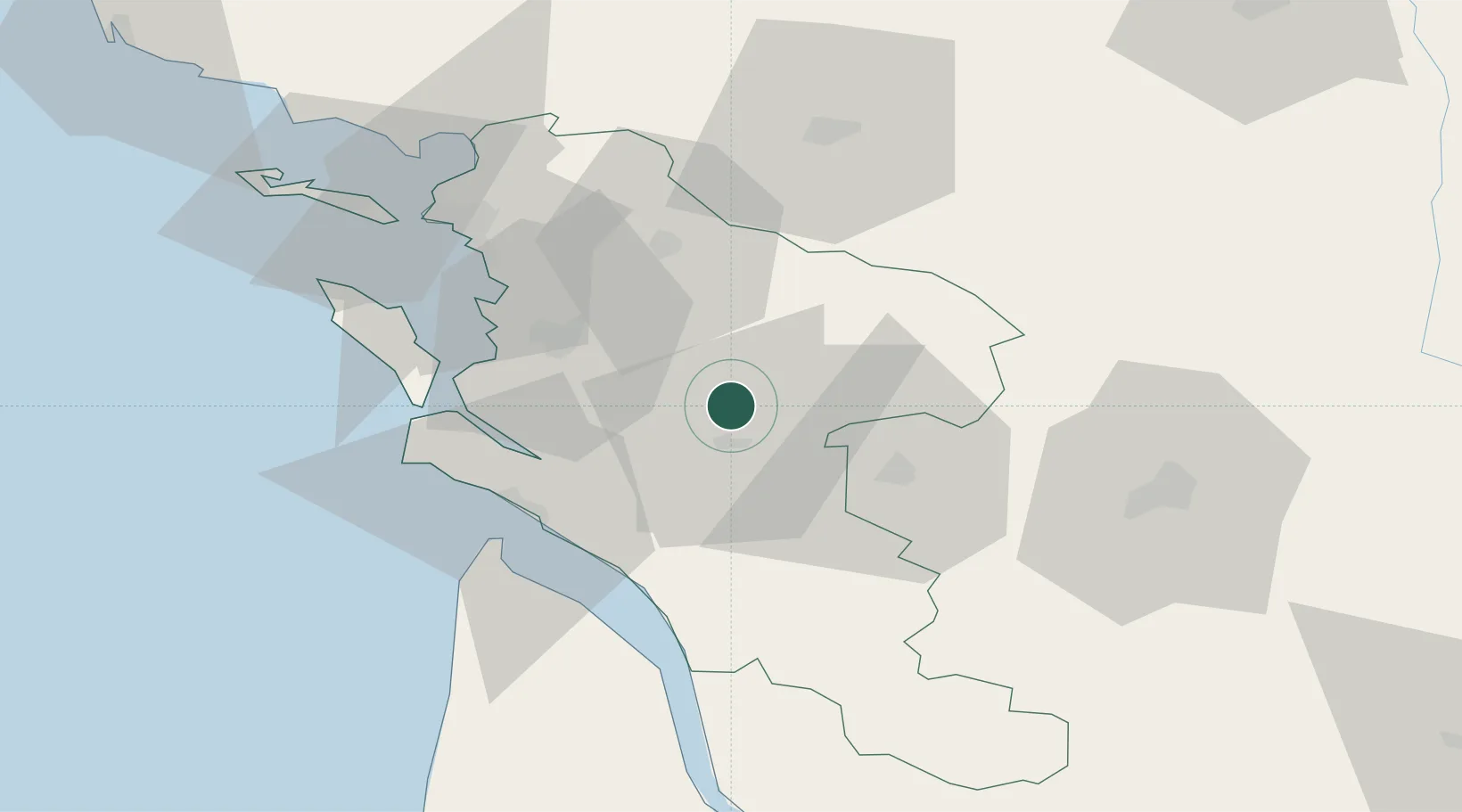
Populated place
Region
Nouvelle-Aquitaine
Population
496
Time zone
Europe/Paris
Elevation
20 m
Location
Nearby Logistics Neighbours
Cities
- 1Saintes7 km
- 2Saint-Savinien8 km
- 3La Chapelle-des-Pots10 km
- 4Pessines11 km
- 5Brizambourg12 km
Ports
- 1Tonnay Charente24 km
- 2Rochefort28 km
- 3Le Verdon44 km
- 4La Rochelle55 km
- 5La Pallice60 km
Airports
Trade Zones
- 1ZFU La Rochelle59 km
- 2Port de Bordeaux101 km
- 3ZFU Hauts de Garonne110 km
- 4ZFU Nantes et Saint-Herblain177 km
- 5ZFU Angers185 km
DatabookThe Record of Consolidated Knowledge
France beyond logistics?