Transport Functions
Rail
Road
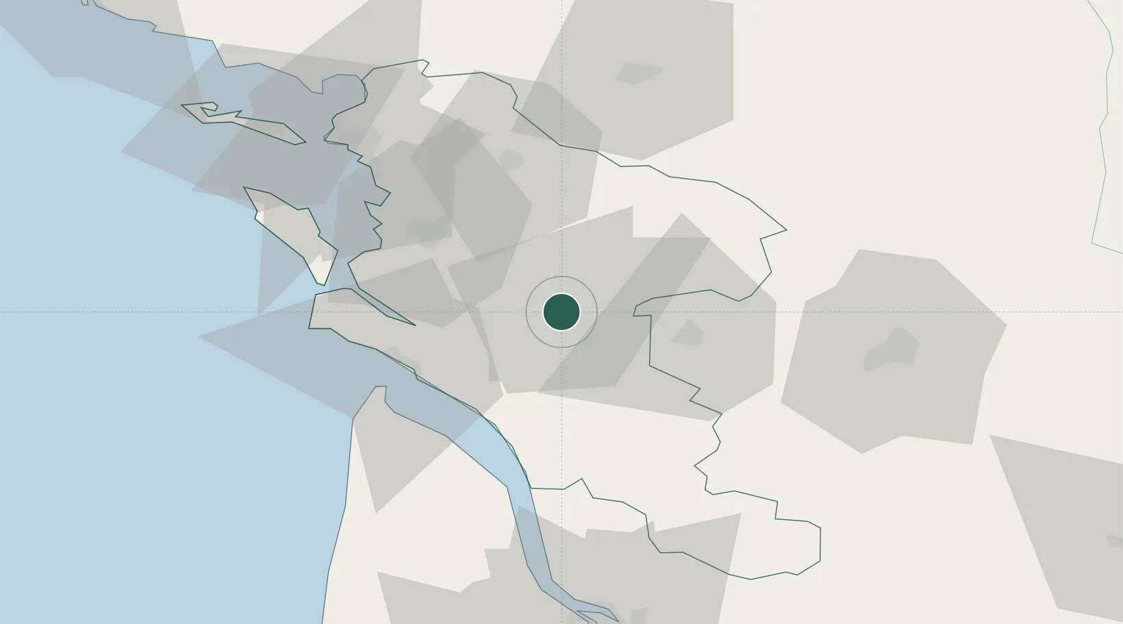
Hub Profile
Place type
District seat
Region
Nouvelle-Aquitaine
Population
29,512
Time zone
Europe/Paris
Elevation
26 m
Location
Nearby Logistics Neighbours
Cities
- 1Pessines7 km
- 2Saint-Vaize7 km
- 3Chaniers8 km
- 4Chermignac8 km
- 5La Chapelle-des-Pots8 km
Ports
- 1Tonnay Charente29 km
- 2Rochefort32 km
- 3Le Verdon39 km
- 4La Rochelle60 km
- 5Pauillac62 km
Airports
Trade Zones
- 1ZFU La Rochelle64 km
- 2Port de Bordeaux94 km
- 3ZFU Hauts de Garonne103 km
- 4ZFU Nantes et Saint-Herblain183 km
- 5ZFU Angers193 km
DatabookThe Record of Consolidated Knowledge
France beyond logistics?