UN/LOCODE hub · France
FRPHN
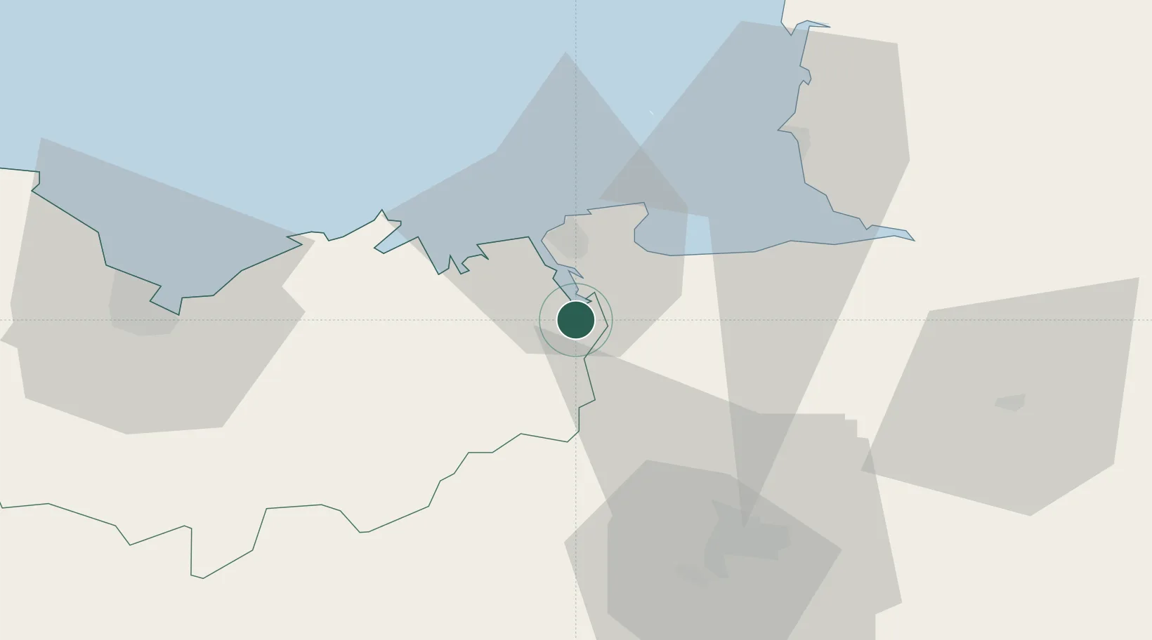
Pleudihen-sur-Rance
48.5000°, -1.9667°
2,618
Population
2
Transport functions
Transport Functions
Port
Road
Hub Profile
Place type
Populated place
Region
Brittany
Population
2,618
Time zone
Europe/Paris
Elevation
38 m
Location
Nearby Logistics Neighbours
Cities
- 1Taden4 km
- 2Plouër-sur-Rance4 km
- 3Jugon-les-Lacs5 km
- 4Châteauneuf-d'Ille-et-Vilaine7 km
- 5Pleslin-Trigavou7 km
Ports
- 1Saint-Malo17 km
- 2Granville46 km
- 3Le Legue58 km
- 4Saint Helier Harbour77 km
- 5Paimpol86 km
Airports
- 1Dinard Pleurtuit Saint-Malo airport13 km
- 2Rennes-Saint-Jacques Airport51 km
- 3Granville Airport52 km
- 4Saint-Brieuc-Armor Airport66 km
- 5Jersey Airport81 km
Trade Zones
- 1ZFU Cherbourg-Octeville129 km
- 2ZFU La Guérinière, La Grâce de Dieu137 km
- 3ZFU Saint-Nazaire138 km
- 4ZFU Hérouville-Saint-Clair142 km
- 5ZFU Nantes et Saint-Herblain143 km
DatabookThe Record of Consolidated Knowledge
France beyond logistics?