Transport Functions
Rail
Road
Hub Profile
Place type
Populated place
Region
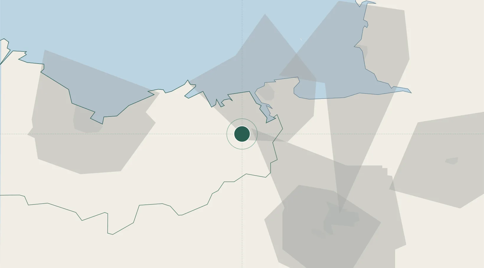
Brittany
Population
3,325
Time zone
Europe/Paris
Elevation
91 m
Location
Nearby Logistics Neighbours
Cities
- 1Dinan4 km
- 2Taden5 km
- 3Pleslin-Trigavou8 km
- 4Pleudihen-sur-Rance9 km
- 5Plouër-sur-Rance10 km
Ports
- 1Saint-Malo21 km
- 2Le Legue50 km
- 3Granville54 km
- 4Paimpol79 km
- 5Saint Helier Harbour80 km
Airports
- 1Dinard Pleurtuit Saint-Malo airport14 km
- 2Rennes-Saint-Jacques Airport51 km
- 3Saint-Brieuc-Armor Airport57 km
- 4Granville Airport60 km
- 5Jersey Airport83 km
Trade Zones
- 1ZFU Saint-Nazaire133 km
- 2ZFU Cherbourg-Octeville134 km
- 3ZFU Nantes et Saint-Herblain141 km
- 4ZFU La Guérinière, La Grâce de Dieu146 km
- 5ZFU Hérouville-Saint-Clair151 km
DatabookThe Record of Consolidated Knowledge
France beyond logistics?