UN/LOCODE hub · France
FRDNN

Dinan

48.4500°, -2.0333°
12,237
Population
2
Transport functions

Transport Functions

Rail
Road
UN/LOCODE

Hub Profile

Place type
District seat
GeoNames
Region
Brittany
GeoNames
Population
12,237
GeoNames
Time zone
Europe/Paris
GeoNames
Elevation
78 m
GeoNames

Location

Location of FRDNN
Natural Earth 10m (public domain) · Brittany · FRDNN · 48.45, -2.03GoogleOSMYandex

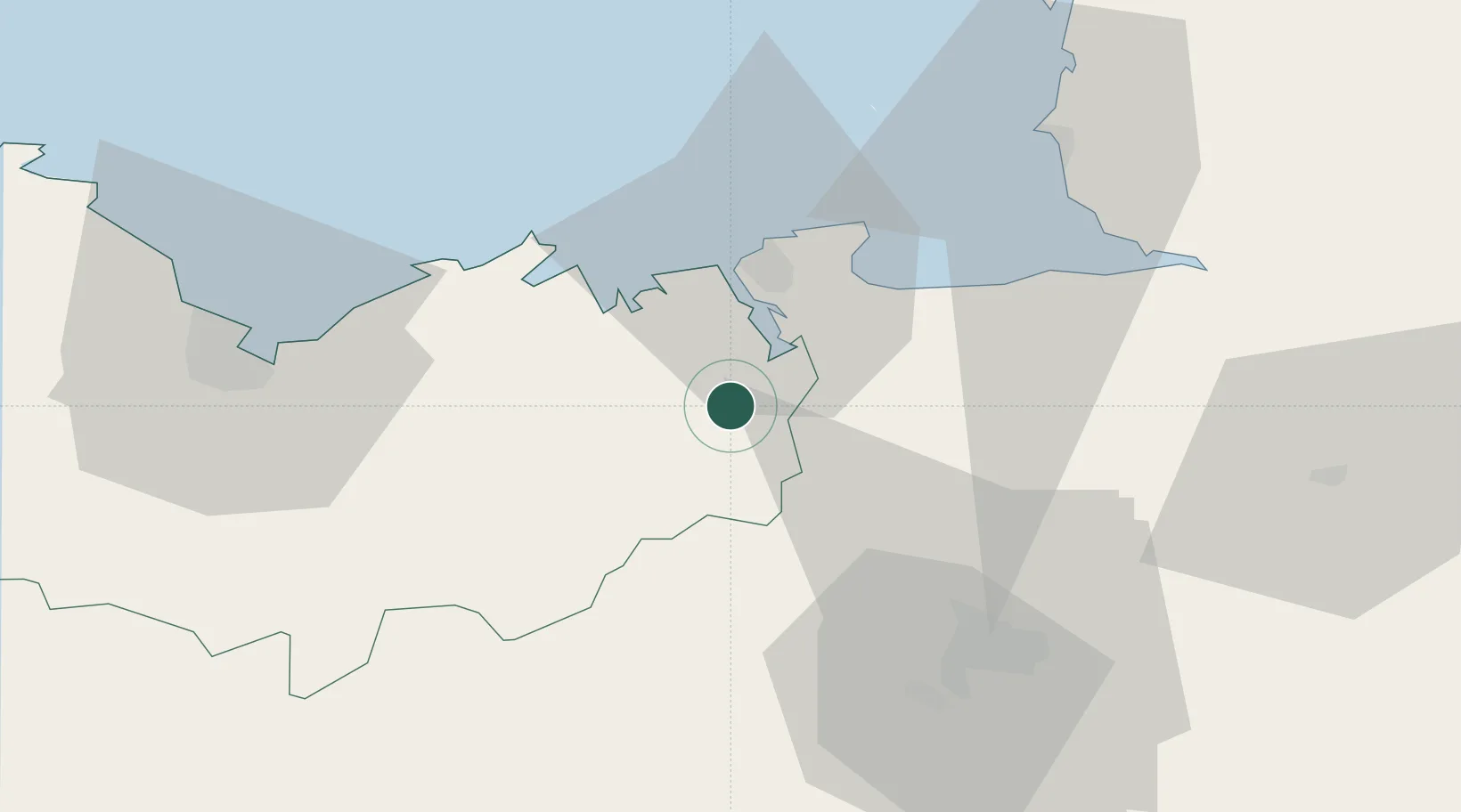
Nearby Logistics Neighbours

Cities
  1. 1Taden4 km
  2. 2Quévert4 km
  3. 3Pleudihen-sur-Rance7 km
  4. 4Pleslin-Trigavou9 km
  5. 5Plouër-sur-Rance10 km
Nearest neighbours — logibook spatial index (haversine) over the source coordinates
Ports
  1. 1Saint-Malo22 km
  2. 2Granville53 km
  3. 3Le Legue54 km
  4. 4Saint Helier Harbour82 km
  5. 5Paimpol83 km
Nearest neighbours — logibook spatial index (haversine) over the source coordinates
Airports
  1. 1Dinard Pleurtuit Saint-Malo airport16 km
  2. 2Rennes-Saint-Jacques Airport48 km
  3. 3Granville Airport59 km
  4. 4Saint-Brieuc-Armor Airport61 km
  5. 5Jersey Airport85 km
Nearest neighbours — logibook spatial index (haversine) over the source coordinates
Trade Zones
  1. 1ZFU Saint-Nazaire132 km
  2. 2ZFU Cherbourg-Octeville135 km
  3. 3ZFU Nantes et Saint-Herblain139 km
  4. 4ZFU La Guérinière, La Grâce de Dieu144 km
  5. 5ZFU Hérouville-Saint-Clair149 km
Nearest neighbours — logibook spatial index (haversine) over the source coordinates
DatabookThe Record of Consolidated Knowledge
France beyond logistics?
Browse databook

All Sources

LocationsUN/LOCODE
UN/LOCODE — free
LocationsGeoNames
CC BY 4.0
Portsthe NGA World Port Index
Public domain (US gov)
AirportsOurAirports
Public domain
Trade Zonesthe World Bank SEZ database
CC BY 4.0
Trade ZonesOpen Zone Map
CC BY
← France locations