UN/LOCODE hub · France
FRHTI

Taden

48.4833°, -2.0167°
1,909
Population
2
Transport functions

Transport Functions

Port
Road
UN/LOCODE

Hub Profile

Place type
Populated place
GeoNames
Region
Brittany
GeoNames
Population
1,909
GeoNames
Time zone
Europe/Paris
GeoNames
Elevation
49 m
GeoNames

Location

Location of FRHTI
Natural Earth 10m (public domain) · Brittany · FRHTI · 48.48, -2.02GoogleOSMYandex

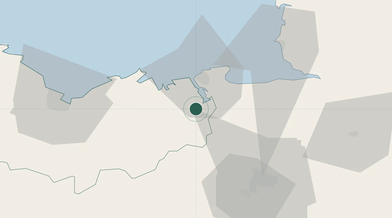
Nearby Logistics Neighbours

Cities
  1. 1Dinan4 km
  2. 2Pleudihen-sur-Rance4 km
  3. 3Quévert5 km
  4. 4Plouër-sur-Rance6 km
  5. 5Pleslin-Trigavou6 km
Nearest neighbours — logibook spatial index (haversine) over the source coordinates
Ports
  1. 1Saint-Malo19 km
  2. 2Granville50 km
  3. 3Le Legue54 km
  4. 4Saint Helier Harbour78 km
  5. 5Paimpol83 km
Nearest neighbours — logibook spatial index (haversine) over the source coordinates
Airports
  1. 1Dinard Pleurtuit Saint-Malo airport13 km
  2. 2Rennes-Saint-Jacques Airport51 km
  3. 3Granville Airport56 km
  4. 4Saint-Brieuc-Armor Airport62 km
  5. 5Jersey Airport82 km
Nearest neighbours — logibook spatial index (haversine) over the source coordinates
Trade Zones
  1. 1ZFU Cherbourg-Octeville131 km
  2. 2ZFU Saint-Nazaire136 km
  3. 3ZFU La Guérinière, La Grâce de Dieu141 km
  4. 4ZFU Nantes et Saint-Herblain142 km
  5. 5ZFU Hérouville-Saint-Clair146 km
Nearest neighbours — logibook spatial index (haversine) over the source coordinates
DatabookThe Record of Consolidated Knowledge
France beyond logistics?
Browse databook

All Sources

LocationsUN/LOCODE
UN/LOCODE — free
LocationsGeoNames
CC BY 4.0
Portsthe NGA World Port Index
Public domain (US gov)
AirportsOurAirports
Public domain
Trade Zonesthe World Bank SEZ database
CC BY 4.0
Trade ZonesOpen Zone Map
CC BY
← France locations