Transport Functions
Multimodal
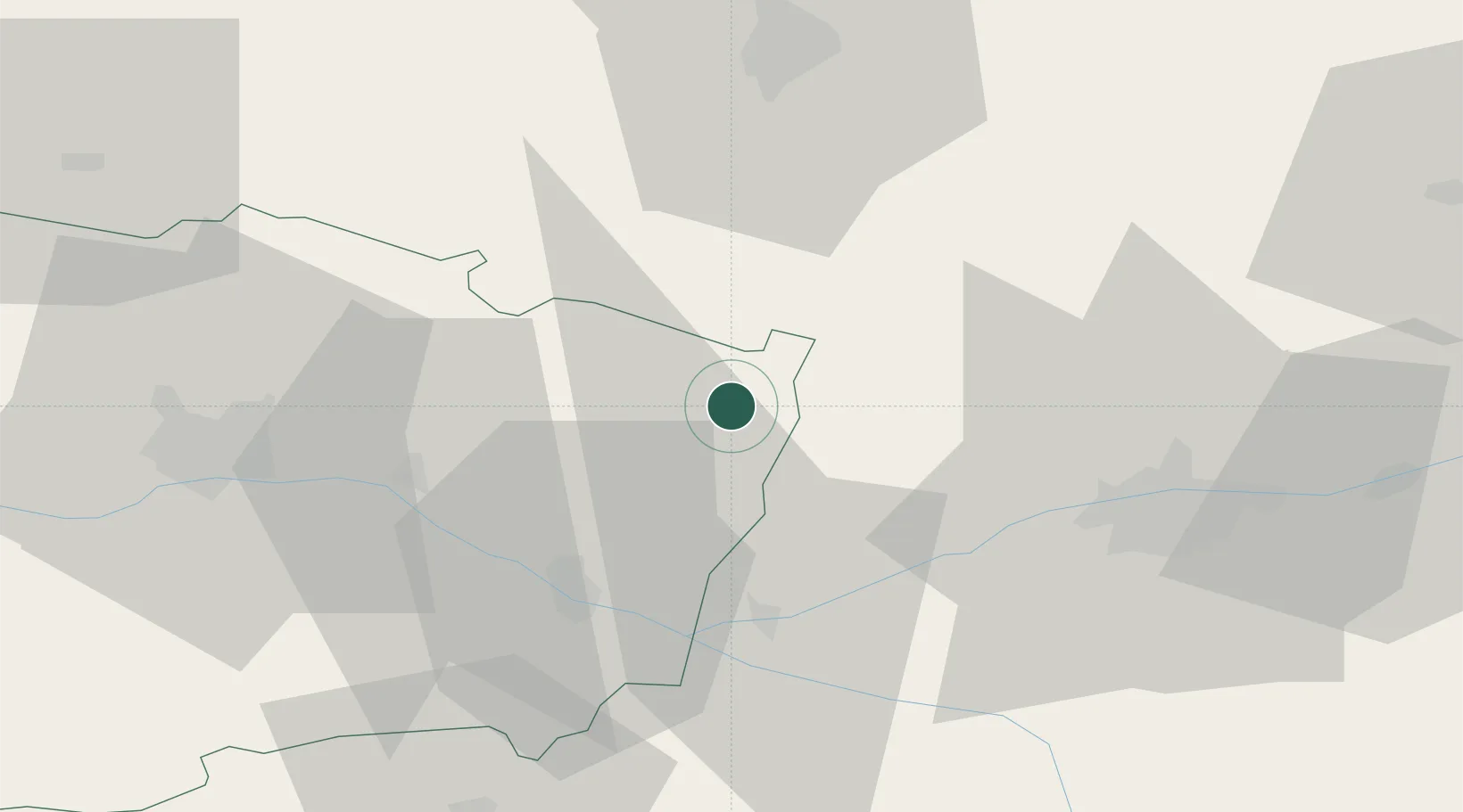
Hub Profile
Place type
Populated place
Region
Pays de la Loire
Population
1,975
Time zone
Europe/Paris
Elevation
84 m
Location
Nearby Logistics Neighbours
Cities
- 1Lublé9 km
- 2Mouliherne10 km
- 3Château-la-Vallière14 km
- 4Hommes16 km
- 5Couesmes17 km
Ports
- 1Nantes133 km
- 2La Rochelle181 km
- 3La Pallice182 km
- 4Les Sables D' Olonne185 km
- 5Port De Caen189 km
Airports
- 1Angers Marcé airport34 km
- 2Tours Val de Loire Airport46 km
- 3Le Mans-Arnage Airport48 km
- 4Laval-Entrammes Airport87 km
- 5Poitiers-Biard Airport104 km
Trade Zones
- 1ZFU Le Mans52 km
- 2ZFU Angers55 km
- 3ZFU Blois86 km
- 4ZFU Alençon102 km
- 5ZFU Orléans134 km
DatabookThe Record of Consolidated Knowledge
France beyond logistics?