Transport Functions
Multimodal
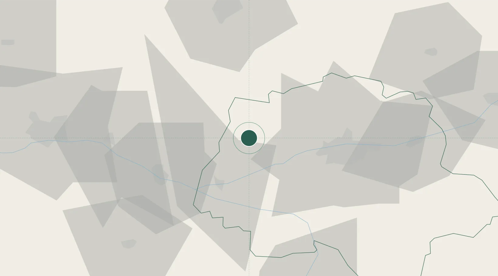
Hub Profile
Place type
Populated place
Region
Centre-Val de Loire
Population
730
Time zone
Europe/Paris
Elevation
87 m
Location
Nearby Logistics Neighbours
Cities
- 1Avrillé-les-Ponceaux4 km
- 2Lublé10 km
- 3Mazières-de-Touraine12 km
- 4Château-la-Vallière13 km
- 5Couesmes15 km
Ports
- 1Nantes143 km
- 2La Rochelle180 km
- 3La Pallice182 km
- 4Les Sables D' Olonne190 km
- 5Tonnay Charente190 km
Airports
- 1Tours Val de Loire Airport32 km
- 2Angers Marcé airport48 km
- 3Le Mans-Arnage Airport58 km
- 4Poitiers-Biard Airport94 km
- 5Laval-Entrammes Airport103 km
Trade Zones
- 1ZFU Le Mans62 km
- 2ZFU Angers68 km
- 3ZFU Blois75 km
- 4ZFU Alençon112 km
- 5ZFU Orléans125 km
DatabookThe Record of Consolidated Knowledge
France beyond logistics?