Medium airport · France

Poitiers-Biard AirportLFBI
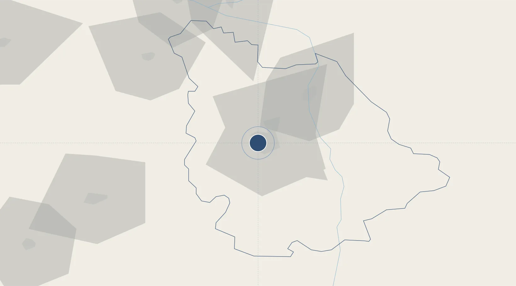
46.5877°, 0.3067°
7,710 ft
Longest runway
1
Runways
423 ft
Elevation

Runway & Layout

Poitiers-Biard Airport runway & taxiway layout
Runway & taxiway layout — OpenStreetMap (ODbL) / OurAirports

Radio Frequencies

ATIS
121.775 MHz
TWR
118.5 MHz
POITIERS TWR
APP
130.9 MHz
POITIERS APP
INFO
120.775 MHz
POITERS INFO
OurAirports

Navaids

PI NDB Poitiers 363 kHz
POI VOR Poitiers 113.30 MHz
OurAirports

Runways · 1

RunwayDimensions SurfaceTrue headingLit
03/21 7,710 × 148ft Asphalt 032°
OurAirports

Airport Specifications

IATA code
PIS
OurAirports
ICAO code
LFBI
OurAirports
Airport class
Medium airport
OurAirports
Scheduled service
Yes
OurAirports
Runway surface
Asphalt
OurAirports
Served city
Poitiers/Biard
OurAirports

Location

Location of LFBI
Natural Earth 10m (public domain) · Vienne · LFBI · 46.59, 0.31GoogleOSMYandex

Nearby Logistics Neighbours

Airports
  1. 1Niort - Marais Poitevin Airport62 km
  2. 2Angoulême Brie-Champniers airport96 km
  3. 3Tours Val de Loire Airport99 km
  4. 4Limoges Airport105 km
  5. 5Châteauroux Déols airport113 km
Nearest neighbours — logibook spatial index (haversine) over the source coordinates
Cities
  1. 1Poitiers2 km
  2. 2Savigny-Lévescault15 km
  3. 3Beaumont19 km
  4. 4Marigny-Brizay19 km
  5. 5Lusignan23 km
Nearest neighbours — logibook spatial index (haversine) over the source coordinates
Ports
  1. 1Tonnay Charente118 km
  2. 2Rochefort121 km
  3. 3La Rochelle122 km
  4. 4La Pallice126 km
  5. 5Le Verdon156 km
Nearest neighbours — logibook spatial index (haversine) over the source coordinates
Trade Zones
  1. 1ZFU Angers121 km
  2. 2ZFU La Rochelle126 km
  3. 3ZFU Blois132 km
  4. 4ZFU Le Mans156 km
  5. 5ZFU Bourges163 km
Nearest neighbours — logibook spatial index (haversine) over the source coordinates
DatabookThe Record of Consolidated Knowledge
France beyond logistics?
Browse databook

All Sources

AirportsOurAirports
Public domain
Portsthe NGA World Port Index
Public domain (US gov)
LocationsUN/LOCODE
UN/LOCODE — free
Trade Zonesthe World Bank SEZ database
CC BY 4.0
Trade ZonesOpen Zone Map
CC BY
InfrastructureOpenStreetMap
ODbL 1.0
← France airports