UN/LOCODE hub · France
FRHLV
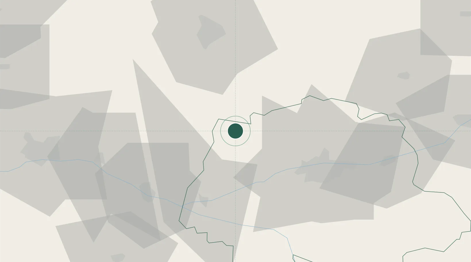
Château-la-Vallière
47.5500°, 0.3167°
1,615
Population
3
Transport functions
Transport Functions
Rail
Road
Multimodal
Hub Profile
Place type
Populated place
Region
Centre-Val de Loire
Population
1,615
Time zone
Europe/Paris
Elevation
97 m
Location
Nearby Logistics Neighbours
Cities
- 1Couesmes3 km
- 2Lublé6 km
- 3Hommes13 km
- 4Noyant14 km
- 5Montval-sur-Loir17 km
Ports
- 1Nantes147 km
- 2Port De Caen188 km
- 3La Rochelle192 km
- 4La Pallice193 km
- 5Ouistreham197 km
Airports
- 1Tours Val de Loire Airport34 km
- 2Le Mans-Arnage Airport45 km
- 3Angers Marcé airport47 km
- 4Laval-Entrammes Airport96 km
- 5Châteaudun Airfield97 km
Trade Zones
- 1ZFU Le Mans50 km
- 2ZFU Angers69 km
- 3ZFU Blois72 km
- 4ZFU Alençon99 km
- 5ZFU Orléans120 km
DatabookThe Record of Consolidated Knowledge
France beyond logistics?