Transport Functions
Road
Multimodal
Hub Profile
Place type
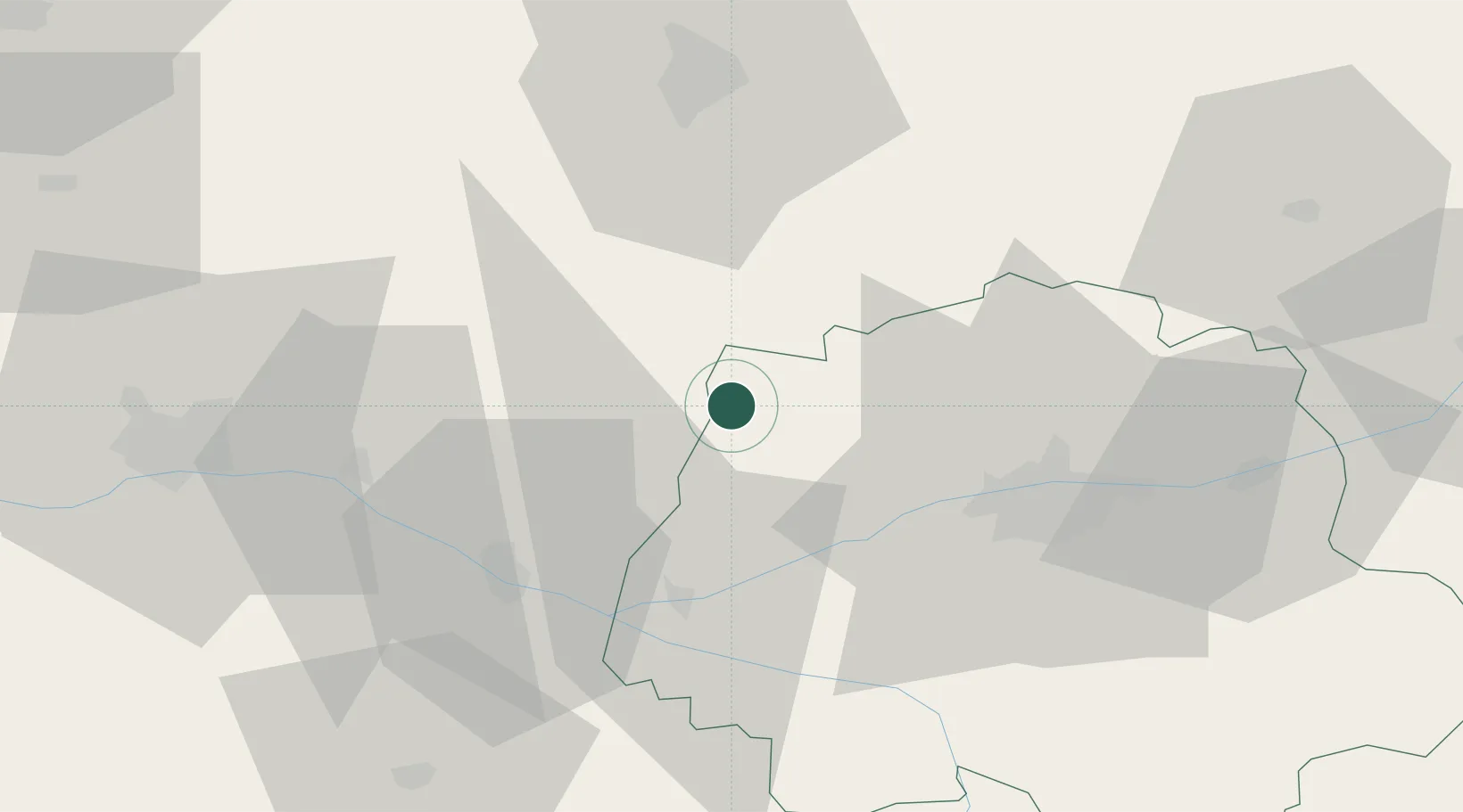
Populated place
Region
Centre-Val de Loire
Population
130
Time zone
Europe/Paris
Elevation
85 m
Location
Nearby Logistics Neighbours
Cities
- 1Château-la-Vallière6 km
- 2Noyant9 km
- 3Couesmes9 km
- 4Hommes10 km
- 5Avrillé-les-Ponceaux13 km
Ports
- 1Nantes141 km
- 2La Rochelle186 km
- 3La Pallice187 km
- 4Port De Caen191 km
- 5Les Sables D' Olonne192 km
Airports
- 1Tours Val de Loire Airport37 km
- 2Angers Marcé airport43 km
- 3Le Mans-Arnage Airport48 km
- 4Laval-Entrammes Airport94 km
- 5Poitiers-Biard Airport103 km
Trade Zones
- 1ZFU Le Mans53 km
- 2ZFU Angers64 km
- 3ZFU Blois77 km
- 4ZFU Alençon102 km
- 5ZFU Orléans126 km
DatabookThe Record of Consolidated Knowledge
France beyond logistics?