Transport Functions
Road
Multimodal
Hub Profile
Place type
Populated place
Region
Pays de la Loire
Population
879
Time zone
Europe/Paris
Elevation
65 m
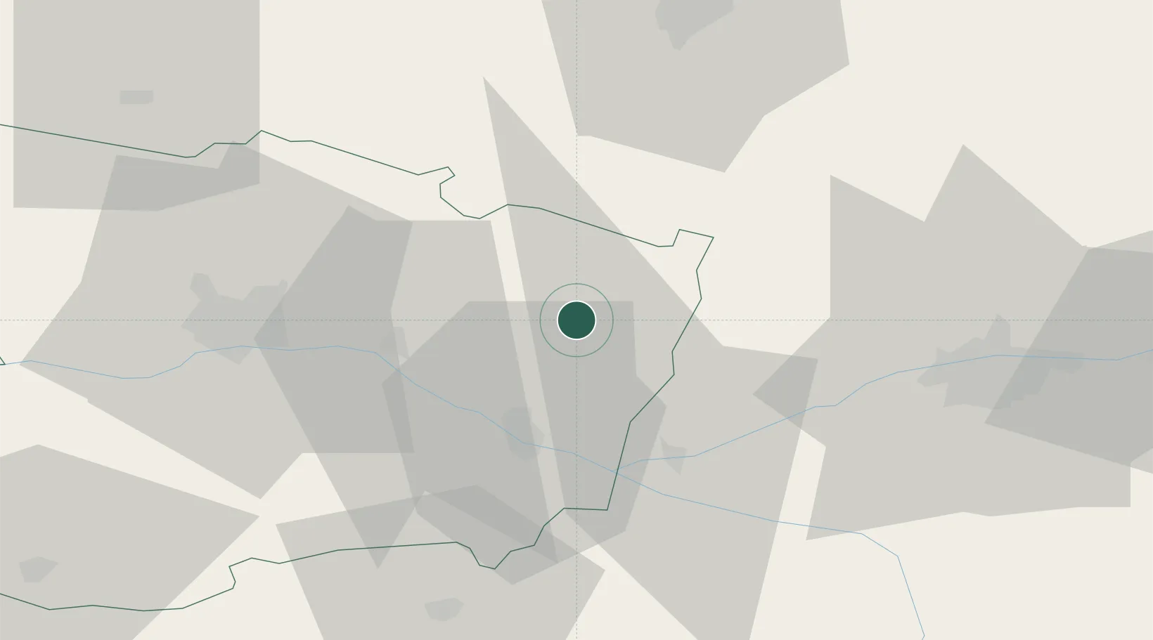
Location
Nearby Logistics Neighbours
Cities
- 1Noyant10 km
- 2Baugé13 km
- 3Longue-Jumelles13 km
- 4Fontaine-Guérin15 km
- 5Neuillé15 km
Ports
- 1Nantes123 km
- 2La Rochelle171 km
- 3La Pallice172 km
- 4Les Sables D' Olonne175 km
- 5Tonnay Charente184 km
Airports
- 1Angers Marcé airport27 km
- 2Tours Val de Loire Airport54 km
- 3Le Mans-Arnage Airport55 km
- 4Laval-Entrammes Airport85 km
- 5Poitiers-Biard Airport100 km
Trade Zones
- 1ZFU Angers46 km
- 2ZFU Le Mans58 km
- 3ZFU Blois95 km
- 4ZFU Alençon107 km
- 5ZFU Nantes et Saint-Herblain132 km
DatabookThe Record of Consolidated Knowledge
France beyond logistics?