Transport Functions
Road
Multimodal
Hub Profile
Place type
Populated place
Region
Centre-Val de Loire
Population
521
Time zone
Europe/Paris
Elevation
74 m
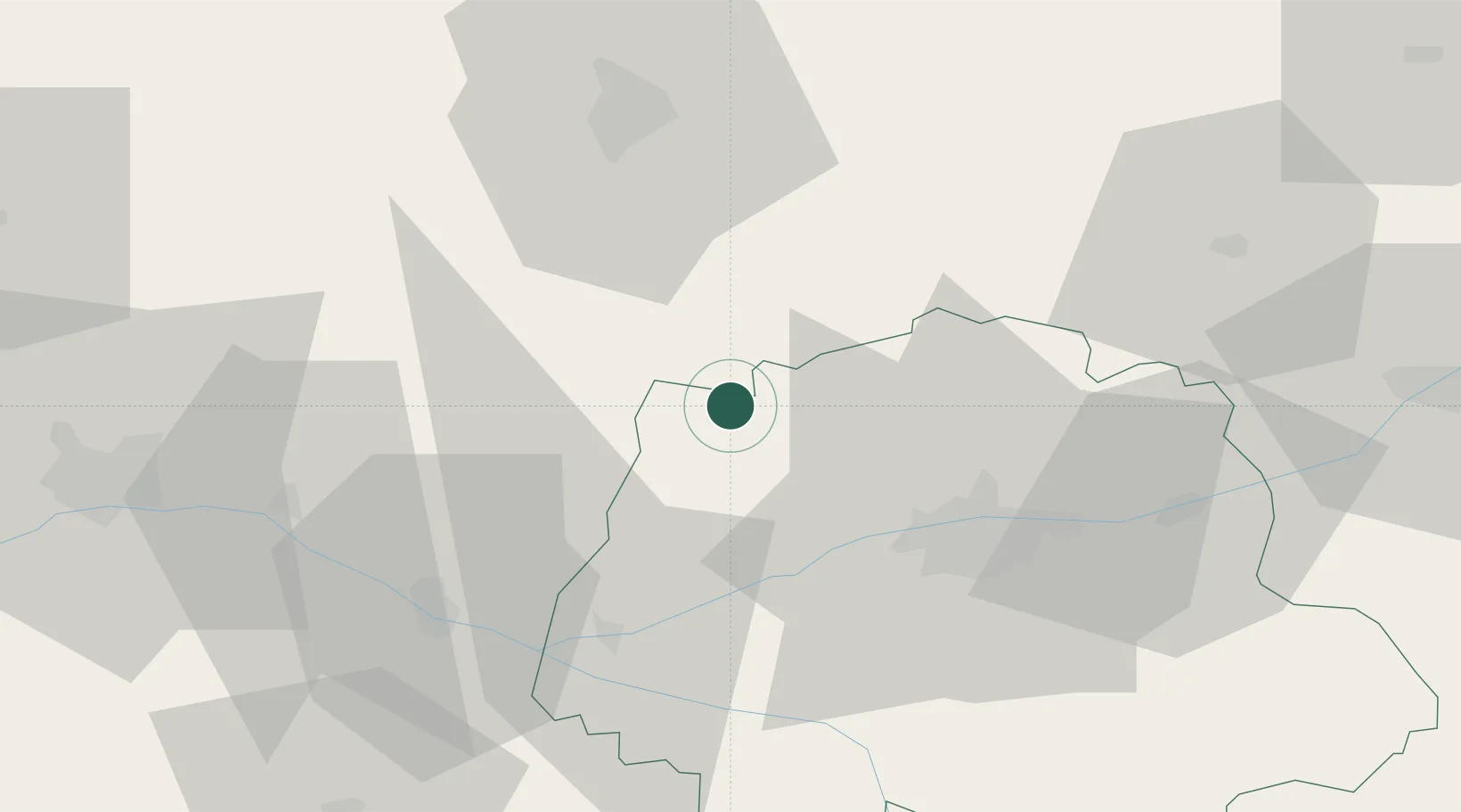
Location
Nearby Logistics Neighbours
Cities
- 1Château-la-Vallière3 km
- 2Lublé9 km
- 3Montval-sur-Loir14 km
- 4Hommes15 km
- 5Noyant17 km
Ports
- 1Nantes150 km
- 2Port De Caen187 km
- 3La Rochelle195 km
- 4Ouistreham196 km
- 5La Pallice196 km
Airports
- 1Tours Val de Loire Airport32 km
- 2Le Mans-Arnage Airport44 km
- 3Angers Marcé airport50 km
- 4Châteaudun Airfield94 km
- 5Laval-Entrammes Airport97 km
Trade Zones
- 1ZFU Le Mans49 km
- 2ZFU Blois69 km
- 3ZFU Angers72 km
- 4ZFU Alençon98 km
- 5ZFU Orléans117 km
DatabookThe Record of Consolidated Knowledge
France beyond logistics?