Transport Functions
Multimodal
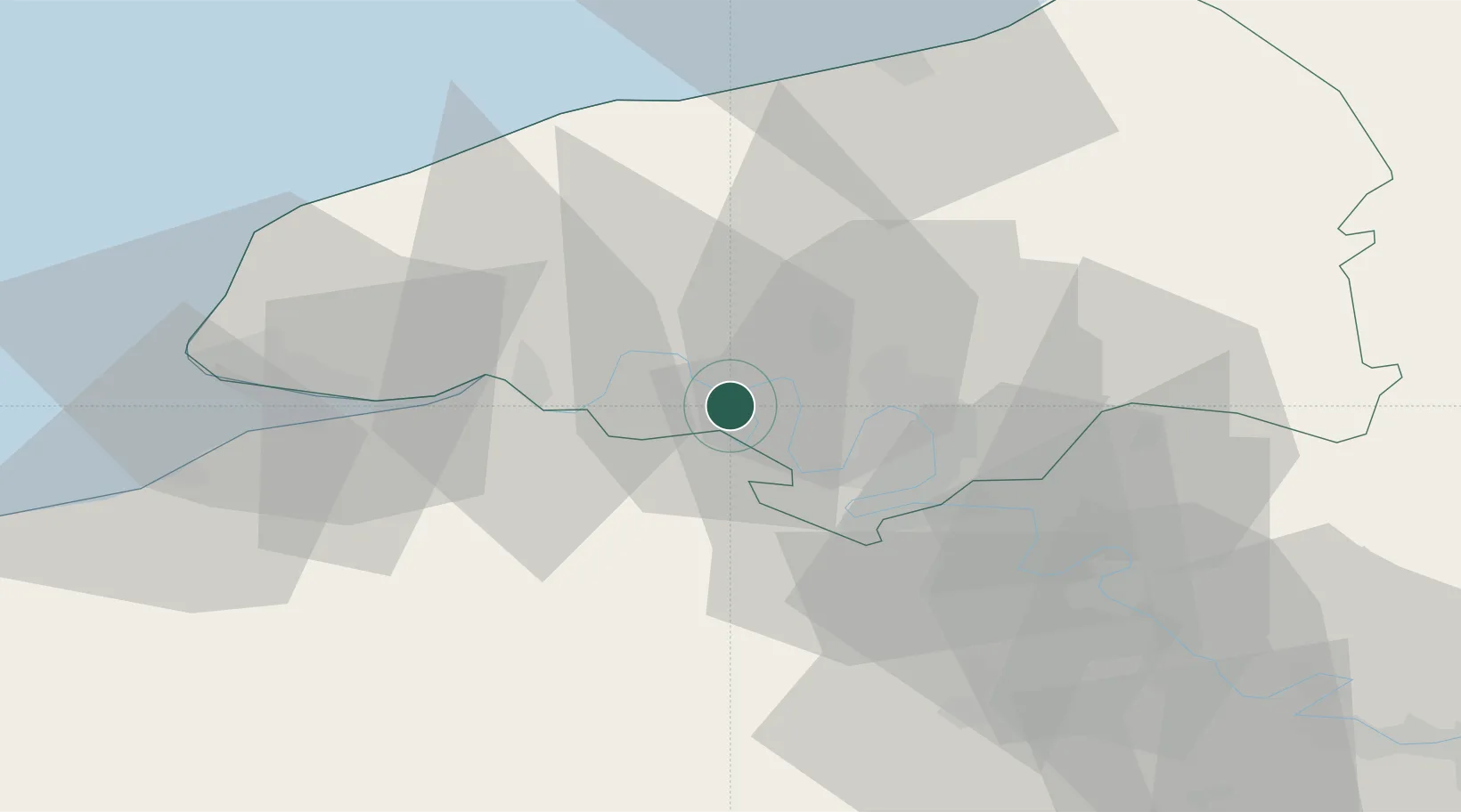
Hub Profile
Place type
Populated place
Region
Normandy
Population
1,150
Time zone
Europe/Paris
Elevation
23 m
Location
Nearby Logistics Neighbours
Cities
- 1Le Trait4 km
- 2Saint-Pierre-de-Manneville9 km
- 3Saint-Wandrille-Rançon10 km
- 4Bourg-Achard11 km
- 5Formigny12 km
Ports
- 1Port Of Rouen17 km
- 2Honfleur45 km
- 3Fecamp49 km
- 4Port Of Le Havre52 km
- 5Deauville55 km
Airports
Trade Zones
- 1ZFU Rouen Bihorel19 km
- 2ZFU Le Havre52 km
- 3ZFU Évreux53 km
- 4ZFU Mantes-la-Jolie82 km
- 5ZFU Dreux et Sainte-Gemme-Moronval87 km
DatabookThe Record of Consolidated Knowledge
France beyond logistics?