Transport Functions
Road
Multimodal
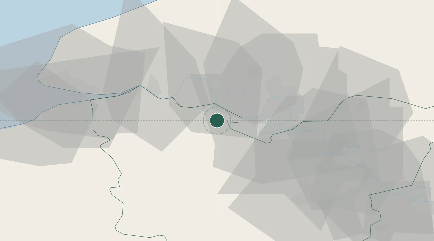
Hub Profile
Place type
Populated place
Region
Normandy
Population
2,652
Time zone
Europe/Paris
Elevation
137 m
Location
Nearby Logistics Neighbours
Cities
- 1Épreville-en-Roumois5 km
- 2Formigny6 km
- 3Illeville-sur-Montfort6 km
- 4Saint-Pierre-de-Manneville10 km
- 5Yainville11 km
Ports
- 1Port Of Rouen21 km
- 2Honfleur44 km
- 3Port Of Le Havre53 km
- 4Deauville53 km
- 5Fecamp57 km
Airports
Trade Zones
- 1ZFU Rouen Bihorel24 km
- 2ZFU Évreux44 km
- 3ZFU Le Havre53 km
- 4ZFU Mantes-la-Jolie77 km
- 5ZFU Dreux et Sainte-Gemme-Moronval78 km
DatabookThe Record of Consolidated Knowledge
France beyond logistics?