UN/LOCODE hub · France
FRSWD

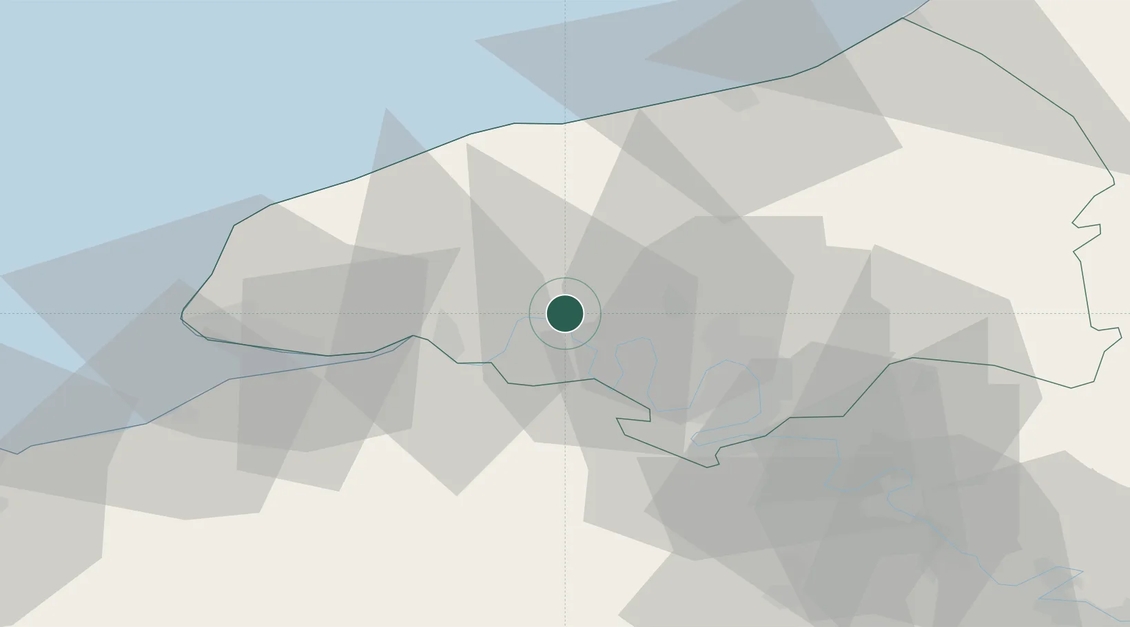
Saint-Wandrille-Rançon

49.5333°, 0.7667°
1,194
Population
1
Transport functions

Transport Functions

Port
UN/LOCODE

Hub Profile

Place type
Populated place
GeoNames
Region
Normandy
GeoNames
Population
1,194
GeoNames
Time zone
Europe/Paris
GeoNames
Elevation
31 m
GeoNames

Location

Location of FRSWD
Natural Earth 10m (public domain) · Normandy · FRSWD · 49.53, 0.77GoogleOSMYandex

Nearby Logistics Neighbours

Cities
  1. 1Le Trait6 km
  2. 2Sainte-Marie-des-Champs9 km
  3. 3Yainville10 km
  4. 4Pavilly14 km
  5. 5Notre-Dame-de-Gravenchon16 km
Nearest neighbours — logibook spatial index (haversine) over the source coordinates
Ports
  1. 1Port Of Rouen24 km
  2. 2Fecamp39 km
  3. 3Honfleur42 km
  4. 4Port Of Le Havre47 km
  5. 5Dieppe50 km
Nearest neighbours — logibook spatial index (haversine) over the source coordinates
Airports
  1. 1Rouen Vallée de Seine Airport34 km
  2. 2Deauville Normandie airport48 km
  3. 3Le Havre-Octeville Airport49 km
  4. 4Évreux-Fauville (BA 105) Air Base65 km
  5. 5Caen Carpiquet airport97 km
Nearest neighbours — logibook spatial index (haversine) over the source coordinates
Trade Zones
  1. 1ZFU Rouen Bihorel25 km
  2. 2ZFU Le Havre47 km
  3. 3ZFU Évreux63 km
  4. 4ZFU Hérouville-Saint-Clair89 km
  5. 5ZFU Mantes-la-Jolie92 km
Nearest neighbours — logibook spatial index (haversine) over the source coordinates
DatabookThe Record of Consolidated Knowledge
France beyond logistics?
Browse databook

All Sources

LocationsUN/LOCODE
UN/LOCODE — free
LocationsGeoNames
CC BY 4.0
Portsthe NGA World Port Index
Public domain (US gov)
AirportsOurAirports
Public domain
Trade Zonesthe World Bank SEZ database
CC BY 4.0
Trade ZonesOpen Zone Map
CC BY
← France locations