Transport Functions
Multimodal
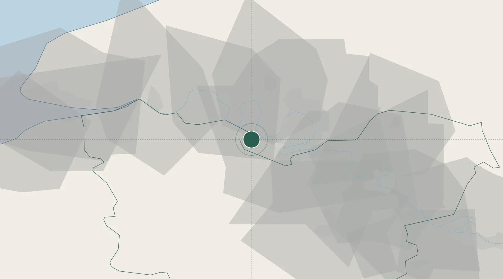
Hub Profile
Place type
Populated place
Region
Normandy
Population
254
Time zone
Europe/Paris
Elevation
28 m
Location
Nearby Logistics Neighbours
Cities
- 1Bourg-Achard6 km
- 2Saint-Pierre-de-Manneville6 km
- 3Grandcamp-Maisy6 km
- 4Val-de-la-Haye7 km
- 5Rouen9 km
Ports
- 1Port Of Rouen16 km
- 2Honfleur50 km
- 3Port Of Le Havre59 km
- 4Deauville59 km
- 5Fecamp60 km
Airports
Trade Zones
- 1ZFU Rouen Bihorel19 km
- 2ZFU Évreux40 km
- 3ZFU Le Havre59 km
- 4ZFU Mantes-la-Jolie72 km
- 5ZFU Dreux et Sainte-Gemme-Moronval75 km
DatabookThe Record of Consolidated Knowledge
France beyond logistics?