UN/LOCODE hub · France
FRX28

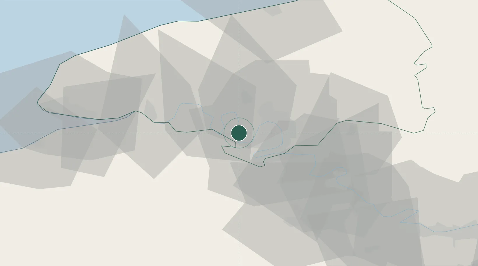
Saint-Pierre-de-Manneville

49.4000°, 0.9333°
795
Population
2
Transport functions

Transport Functions

Port
Multimodal
UN/LOCODE

Hub Profile

Place type
Populated place
GeoNames
Region
Normandy
GeoNames
Population
795
GeoNames
Time zone
Europe/Paris
GeoNames
Elevation
14 m
GeoNames

Location

Location of FRX28
Natural Earth 10m (public domain) · Normandy · FRX28 · 49.40, 0.93GoogleOSMYandex

Nearby Logistics Neighbours

Cities
  1. 1Grandcamp-Maisy3 km
  2. 2Rouen6 km
  3. 3Formigny6 km
  4. 4Dieppedalle7 km
  5. 5Val-de-la-Haye7 km
Nearest neighbours — logibook spatial index (haversine) over the source coordinates
Ports
  1. 1Port Of Rouen11 km
  2. 2Honfleur52 km
  3. 3Fecamp58 km
  4. 4Port Of Le Havre60 km
  5. 5Dieppe60 km
Nearest neighbours — logibook spatial index (haversine) over the source coordinates
Airports
  1. 1Rouen Vallée de Seine Airport18 km
  2. 2Évreux-Fauville (BA 105) Air Base46 km
  3. 3Deauville Normandie airport57 km
  4. 4Le Havre-Octeville Airport63 km
  5. 5Beauvais-Tillé airport86 km
Nearest neighbours — logibook spatial index (haversine) over the source coordinates
Trade Zones
  1. 1ZFU Rouen Bihorel14 km
  2. 2ZFU Évreux45 km
  3. 3ZFU Le Havre60 km
  4. 4ZFU Mantes-la-Jolie73 km
  5. 5ZFU Dreux et Sainte-Gemme-Moronval79 km
Nearest neighbours — logibook spatial index (haversine) over the source coordinates
DatabookThe Record of Consolidated Knowledge
France beyond logistics?
Browse databook

All Sources

LocationsUN/LOCODE
UN/LOCODE — free
LocationsGeoNames
CC BY 4.0
Portsthe NGA World Port Index
Public domain (US gov)
AirportsOurAirports
Public domain
Trade Zonesthe World Bank SEZ database
CC BY 4.0
Trade ZonesOpen Zone Map
CC BY
← France locations