Transport Functions
Port
Road
Hub Profile
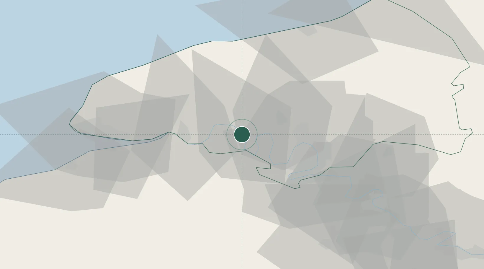
Place type
Populated place
Region
Normandy
Population
5,506
Time zone
Europe/Paris
Elevation
22 m
Location
Nearby Logistics Neighbours
Cities
- 1Yainville4 km
- 2Saint-Wandrille-Rançon6 km
- 3Saint-Pierre-de-Manneville13 km
- 4Pavilly14 km
- 5Bourg-Achard15 km
Ports
- 1Port Of Rouen20 km
- 2Honfleur43 km
- 3Fecamp44 km
- 4Port Of Le Havre49 km
- 5Deauville53 km
Airports
Trade Zones
- 1ZFU Rouen Bihorel21 km
- 2ZFU Le Havre49 km
- 3ZFU Évreux57 km
- 4ZFU Mantes-la-Jolie86 km
- 5ZFU Hérouville-Saint-Clair89 km
DatabookThe Record of Consolidated Knowledge
France beyond logistics?