Transport Functions
Port
Hub Profile
Place type
Populated place
Region
Grand Est
Time zone
Europe/Paris
Elevation
61 m
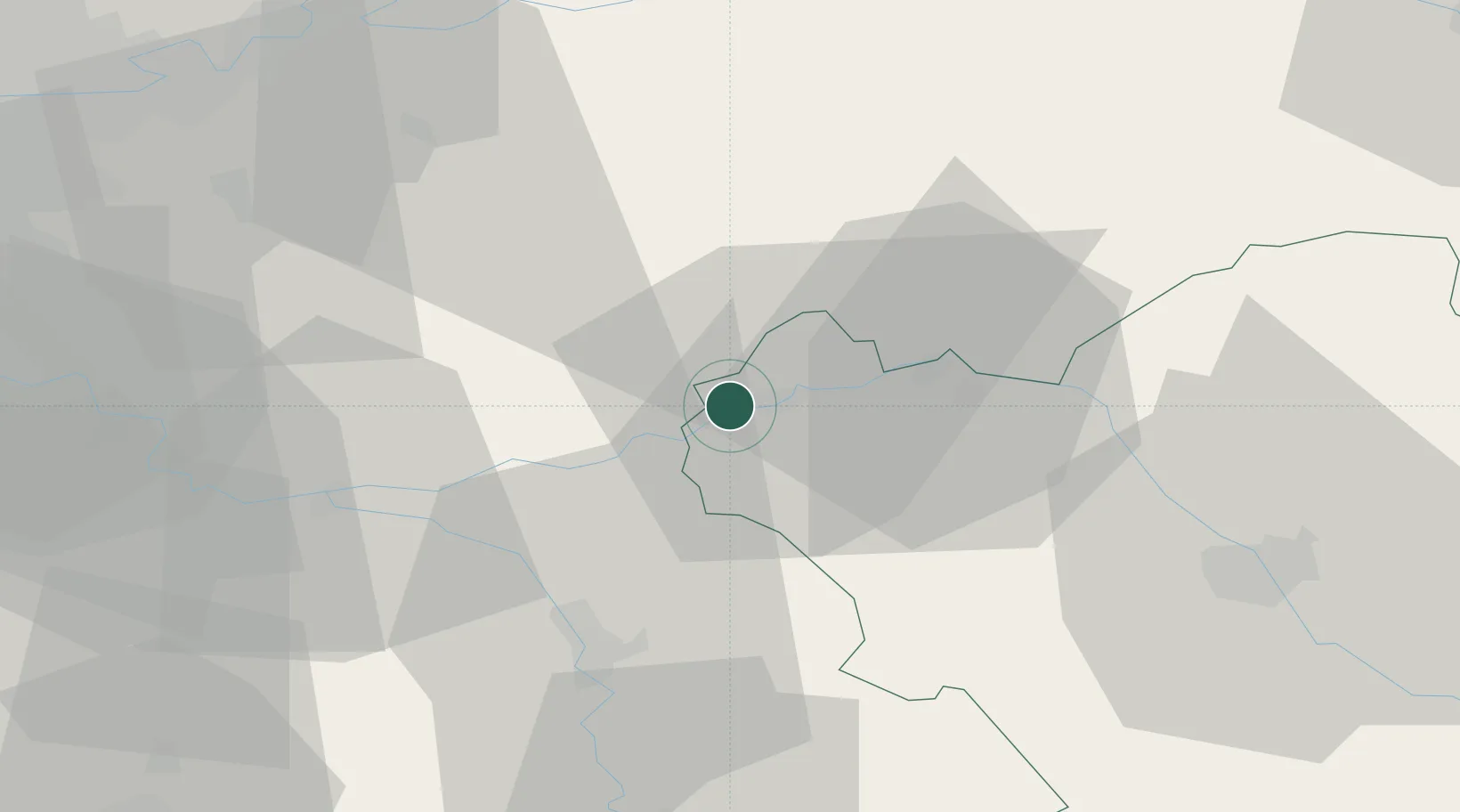
Location
Nearby Logistics Neighbours
Cities
- 1Saint-Pabu8 km
- 2Noyen-sur-Seine9 km
- 3Pont-sur-Seine10 km
- 4Poigny13 km
- 5Longueville15 km
Ports
- 1Port Of Rouen204 km
- 2Saint-Valery-Sur-Somme230 km
- 3Le Treport231 km
- 4Dieppe234 km
- 5Honfleur257 km
Airports
- 1Troyes-Barberey Airport46 km
- 2Melun-Villaroche Airfield59 km
- 3Chalons Vatry airport63 km
- 4Auxerre Branches airport72 km
- 5Paris-Orly Airport83 km
Trade Zones
DatabookThe Record of Consolidated Knowledge
France beyond logistics?