Transport Functions
Multimodal
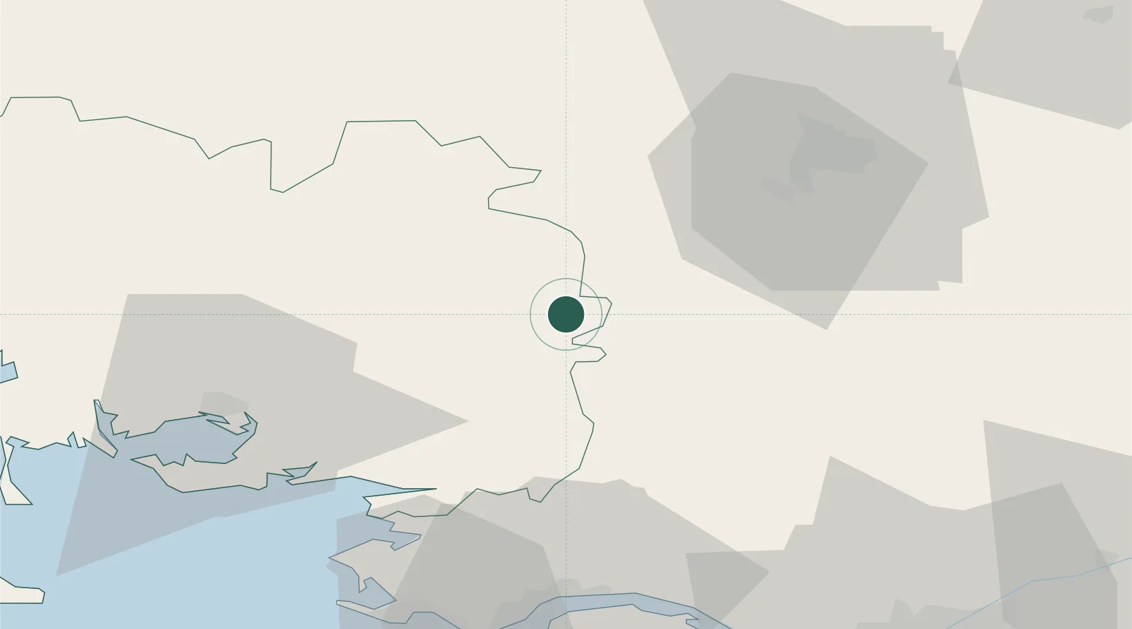
Hub Profile
Place type
Populated place
Region
Brittany
Population
2,752
Time zone
Europe/Paris
Elevation
50 m
Location
Nearby Logistics Neighbours
Cities
- 1La Chapelle-Gaceline5 km
- 2Les Fougerêts11 km
- 3Campel16 km
- 4Malestroit19 km
- 5Redon19 km
Ports
- 1Montoir58 km
- 2Donges58 km
- 3St Nazaire60 km
- 4Nantes81 km
- 5Lorient91 km
Airports
Trade Zones
- 1ZFU Saint-Nazaire61 km
- 2ZFU Nantes et Saint-Herblain73 km
- 3ZFU Angers121 km
- 4ZFU Le Mans169 km
- 5ZFU Alençon178 km
DatabookThe Record of Consolidated Knowledge
France beyond logistics?