Transport Functions
Port
Rail
Road
Hub Profile
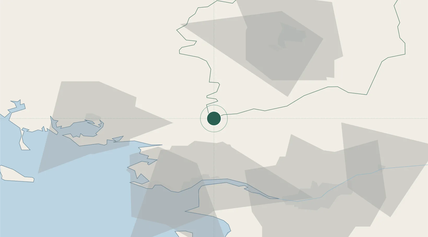
Place type
District seat
Region
Brittany
Population
9,472
Time zone
Europe/Paris
Elevation
11 m
Location
Nearby Logistics Neighbours
Cities
- 1Saint-Nicolas-de-Redon1 km
- 2Avessac8 km
- 3Les Fougerêts14 km
- 4La Chapelle-Gaceline15 km
- 5Guenrouet17 km
Ports
- 1Donges39 km
- 2Montoir39 km
- 3St Nazaire42 km
- 4Nantes63 km
- 5Lorient95 km
Airports
Trade Zones
- 1ZFU Saint-Nazaire44 km
- 2ZFU Nantes et Saint-Herblain55 km
- 3ZFU Angers113 km
- 4ZFU Le Mans169 km
- 5ZFU La Rochelle178 km
DatabookThe Record of Consolidated Knowledge
France beyond logistics?