UN/LOCODE hub · France
FRHHP

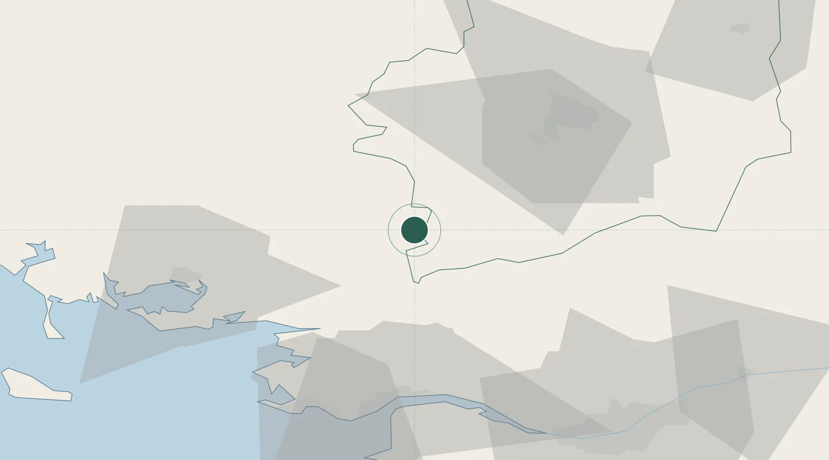
La Chapelle-Gaceline

47.7833°, -2.1000°
540
Population
2
Transport functions

Transport Functions

Road
Multimodal
UN/LOCODE

Hub Profile

Place type
Populated place
GeoNames
Region
Brittany
GeoNames
Population
540
GeoNames
Time zone
Europe/Paris
GeoNames
Elevation
19 m
GeoNames

Location

Location of FRHHP
Natural Earth 10m (public domain) · Brittany · FRHHP · 47.78, -2.10GoogleOSMYandex

Nearby Logistics Neighbours

Cities
  1. 1Carentoir5 km
  2. 2Les Fougerêts10 km
  3. 3Redon15 km
  4. 4Saint-Nicolas-de-Redon15 km
  5. 5Avessac17 km
Nearest neighbours — logibook spatial index (haversine) over the source coordinates
Ports
  1. 1Donges54 km
  2. 2Montoir54 km
  3. 3St Nazaire56 km
  4. 4Nantes76 km
  5. 5Lorient94 km
Nearest neighbours — logibook spatial index (haversine) over the source coordinates
Airports
  1. 1Rennes-Saint-Jacques Airport42 km
  2. 2Vannes-Meucon Airport47 km
  3. 3Saint-Nazaire-Montoir Airport53 km
  4. 4La Baule-Escoublac Airport58 km
  5. 5Nantes Atlantique Airport79 km
Nearest neighbours — logibook spatial index (haversine) over the source coordinates
Trade Zones
  1. 1ZFU Saint-Nazaire58 km
  2. 2ZFU Nantes et Saint-Herblain69 km
  3. 3ZFU Angers117 km
  4. 4ZFU Le Mans167 km
  5. 5ZFU Alençon177 km
Nearest neighbours — logibook spatial index (haversine) over the source coordinates
DatabookThe Record of Consolidated Knowledge
France beyond logistics?
Browse databook

All Sources

LocationsUN/LOCODE
UN/LOCODE — free
LocationsGeoNames
CC BY 4.0
Portsthe NGA World Port Index
Public domain (US gov)
AirportsOurAirports
Public domain
Trade Zonesthe World Bank SEZ database
CC BY 4.0
Trade ZonesOpen Zone Map
CC BY
← France locations