Transport Functions
Port
Road
Hub Profile
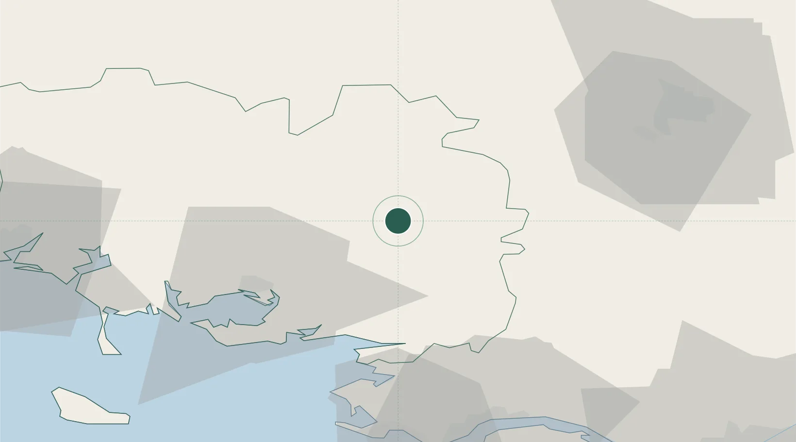
Place type
Populated place
Region
Brittany
Population
2,675
Time zone
Europe/Paris
Elevation
20 m
Location
Nearby Logistics Neighbours
Cities
- 1La Chapelle6 km
- 2Le Roc-Saint-André6 km
- 3Trédion15 km
- 4Les Fougerêts16 km
- 5La Croix-Helléan17 km
Ports
- 1Montoir60 km
- 2St Nazaire61 km
- 3Donges62 km
- 4Lorient73 km
- 5Le Legue84 km
Airports
Trade Zones
- 1ZFU Saint-Nazaire61 km
- 2ZFU Nantes et Saint-Herblain83 km
- 3ZFU Angers139 km
- 4ZFU Le Mans188 km
- 5ZFU Alençon195 km
DatabookThe Record of Consolidated Knowledge
France beyond logistics?