Transport Functions
Port
Multimodal
Hub Profile
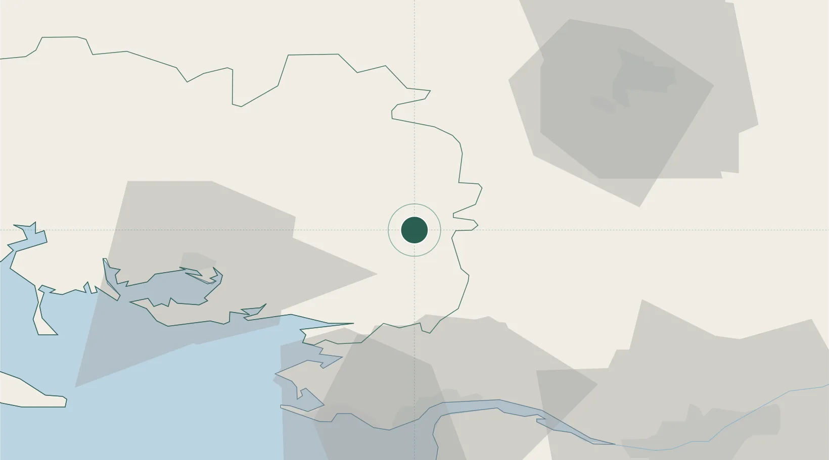
Place type
Populated place
Region
Brittany
Population
847
Time zone
Europe/Paris
Elevation
40 m
Location
Nearby Logistics Neighbours
Cities
- 1La Chapelle-Gaceline10 km
- 2Carentoir11 km
- 3Redon14 km
- 4Saint-Nicolas-de-Redon15 km
- 5Malestroit16 km
Ports
- 1Montoir49 km
- 2Donges50 km
- 3St Nazaire50 km
- 4Nantes77 km
- 5Lorient85 km
Airports
Trade Zones
- 1ZFU Saint-Nazaire51 km
- 2ZFU Nantes et Saint-Herblain69 km
- 3ZFU Angers125 km
- 4ZFU Le Mans177 km
- 5ZFU Alençon187 km
DatabookThe Record of Consolidated Knowledge
France beyond logistics?