Transport Functions
Port
Rail
Road
Hub Profile
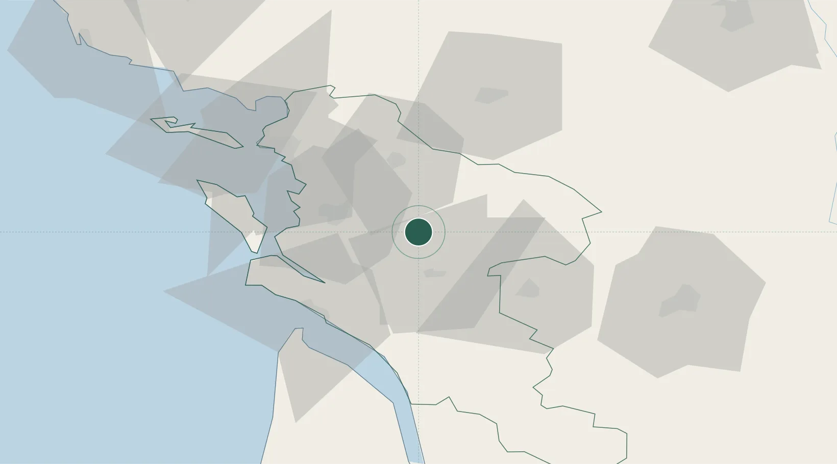
Place type
Populated place
Region
Nouvelle-Aquitaine
Population
2,671
Time zone
Europe/Paris
Elevation
11 m
Location
Nearby Logistics Neighbours
Cities
- 1Saint-Vaize8 km
- 2Ternant12 km
- 3La Vergne13 km
- 4Saint-Jean-d'Angély13 km
- 5Soulignonne14 km
Ports
- 1Tonnay Charente18 km
- 2Rochefort21 km
- 3La Rochelle47 km
- 4Le Verdon47 km
- 5La Pallice52 km
Airports
Trade Zones
- 1ZFU La Rochelle51 km
- 2Port de Bordeaux109 km
- 3ZFU Hauts de Garonne118 km
- 4ZFU Nantes et Saint-Herblain168 km
- 5ZFU Angers178 km
DatabookThe Record of Consolidated Knowledge
France beyond logistics?