Transport Functions
Multimodal
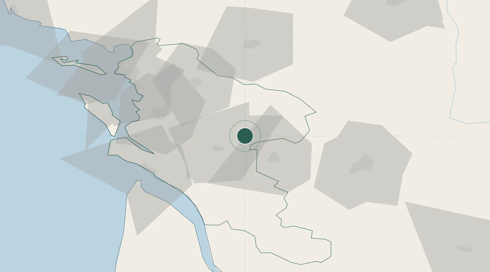
Hub Profile
Place type
Populated place
Region
Nouvelle-Aquitaine
Population
825
Time zone
Europe/Paris
Elevation
58 m
Location
Nearby Logistics Neighbours
Cities
- 1Bercloux2 km
- 2Villars-les-Bois4 km
- 3Migron7 km
- 4La Chapelle-des-Pots7 km
- 5Aumagne9 km
Ports
- 1Tonnay Charente35 km
- 2Rochefort38 km
- 3Le Verdon53 km
- 4La Rochelle64 km
- 5La Pallice69 km
Airports
Trade Zones
- 1ZFU La Rochelle68 km
- 2Port de Bordeaux101 km
- 3ZFU Hauts de Garonne110 km
- 4ZFU Nantes et Saint-Herblain182 km
- 5ZFU Angers185 km
DatabookThe Record of Consolidated Knowledge
France beyond logistics?