UN/LOCODE hub · France
FRXCP
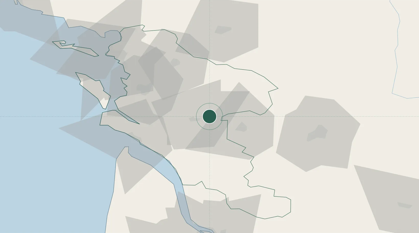
La Chapelle-des-Pots
45.7667°, -0.5333°
931
Population
1
Transport functions
Transport Functions
Multimodal
Hub Profile
Place type
Populated place
Region
Nouvelle-Aquitaine
Population
931
Time zone
Europe/Paris
Elevation
44 m
Location
Nearby Logistics Neighbours
Cities
- 1Chaniers6 km
- 2Brizambourg7 km
- 3Saintes8 km
- 4Villars-les-Bois9 km
- 5Bercloux9 km
Ports
- 1Tonnay Charente34 km
- 2Rochefort37 km
- 3Le Verdon47 km
- 4La Rochelle64 km
- 5Pauillac65 km
Airports
Trade Zones
- 1ZFU La Rochelle68 km
- 2Port de Bordeaux95 km
- 3ZFU Hauts de Garonne104 km
- 4ZFU Nantes et Saint-Herblain185 km
- 5ZFU Angers191 km
DatabookThe Record of Consolidated Knowledge
France beyond logistics?