Transport Functions
Multimodal
Hub Profile
Place type
Populated place
Region
Centre-Val de Loire
Population
512
Time zone
Europe/Paris
Elevation
56 m
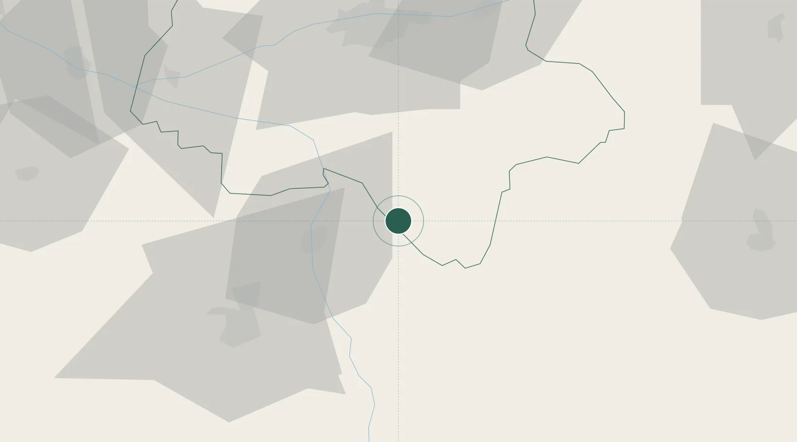
Location
Nearby Logistics Neighbours
Cities
- 1Descartes12 km
- 2Les Ormes17 km
- 3Néons-sur-Creuse19 km
- 4Châtellerault19 km
- 5Port-de-Piles20 km
Ports
- 1Tonnay Charente165 km
- 2La Rochelle167 km
- 3Rochefort168 km
- 4La Pallice171 km
- 5Nantes181 km
Airports
- 1Poitiers-Biard Airport47 km
- 2Tours Val de Loire Airport63 km
- 3Châteauroux Déols airport73 km
- 4Niort - Marais Poitevin Airport108 km
- 5Angers Marcé airport112 km
Trade Zones
- 1ZFU Blois88 km
- 2ZFU Bourges121 km
- 3ZFU Angers124 km
- 4ZFU Le Mans133 km
- 5ZFU Orléans138 km
DatabookThe Record of Consolidated Knowledge
France beyond logistics?