Transport Functions
Rail
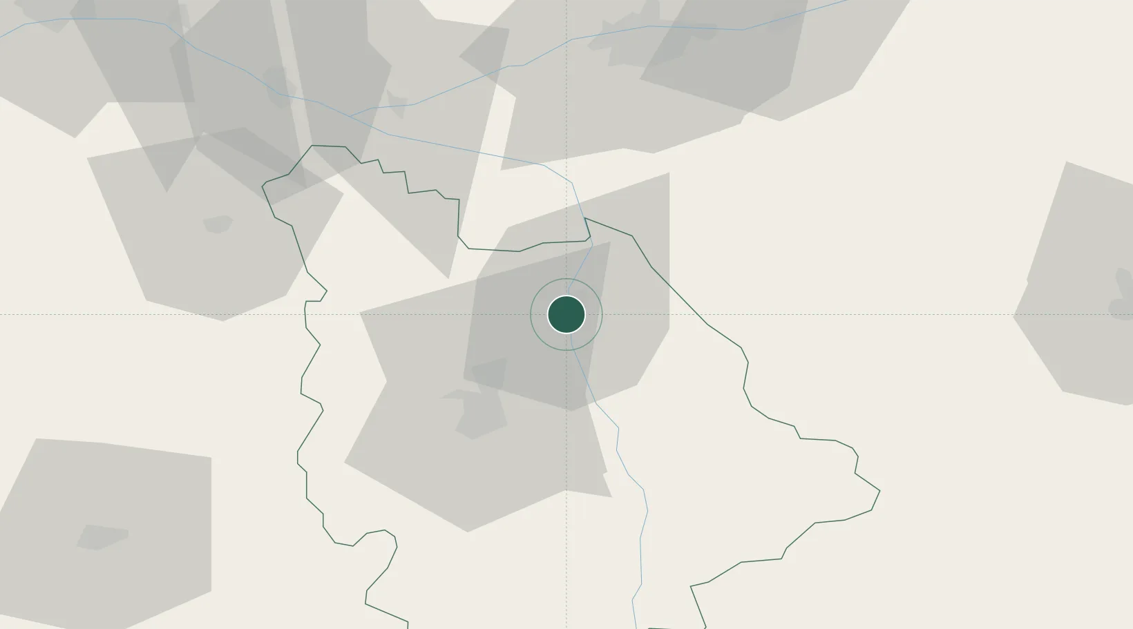
Hub Profile
Place type
District seat
Region
Nouvelle-Aquitaine
Population
37,210
Time zone
Europe/Paris
Elevation
60 m
Location
Nearby Logistics Neighbours
Cities
- 1Availles7 km
- 2Scorbé-Clairvaux9 km
- 3Beaumont11 km
- 4Marigny-Brizay13 km
- 5Saint-Genest-d'Ambière14 km
Ports
- 1Tonnay Charente146 km
- 2La Rochelle148 km
- 3Rochefort149 km
- 4La Pallice151 km
- 5Nantes165 km
Airports
- 1Poitiers-Biard Airport29 km
- 2Tours Val de Loire Airport72 km
- 3Niort - Marais Poitevin Airport89 km
- 4Châteauroux Déols airport91 km
- 5Angers Marcé airport106 km
Trade Zones
- 1ZFU Blois103 km
- 2ZFU Angers114 km
- 3ZFU Le Mans135 km
- 4ZFU Bourges140 km
- 5ZFU La Rochelle151 km
DatabookThe Record of Consolidated Knowledge
France beyond logistics?