Transport Functions
Rail
Road
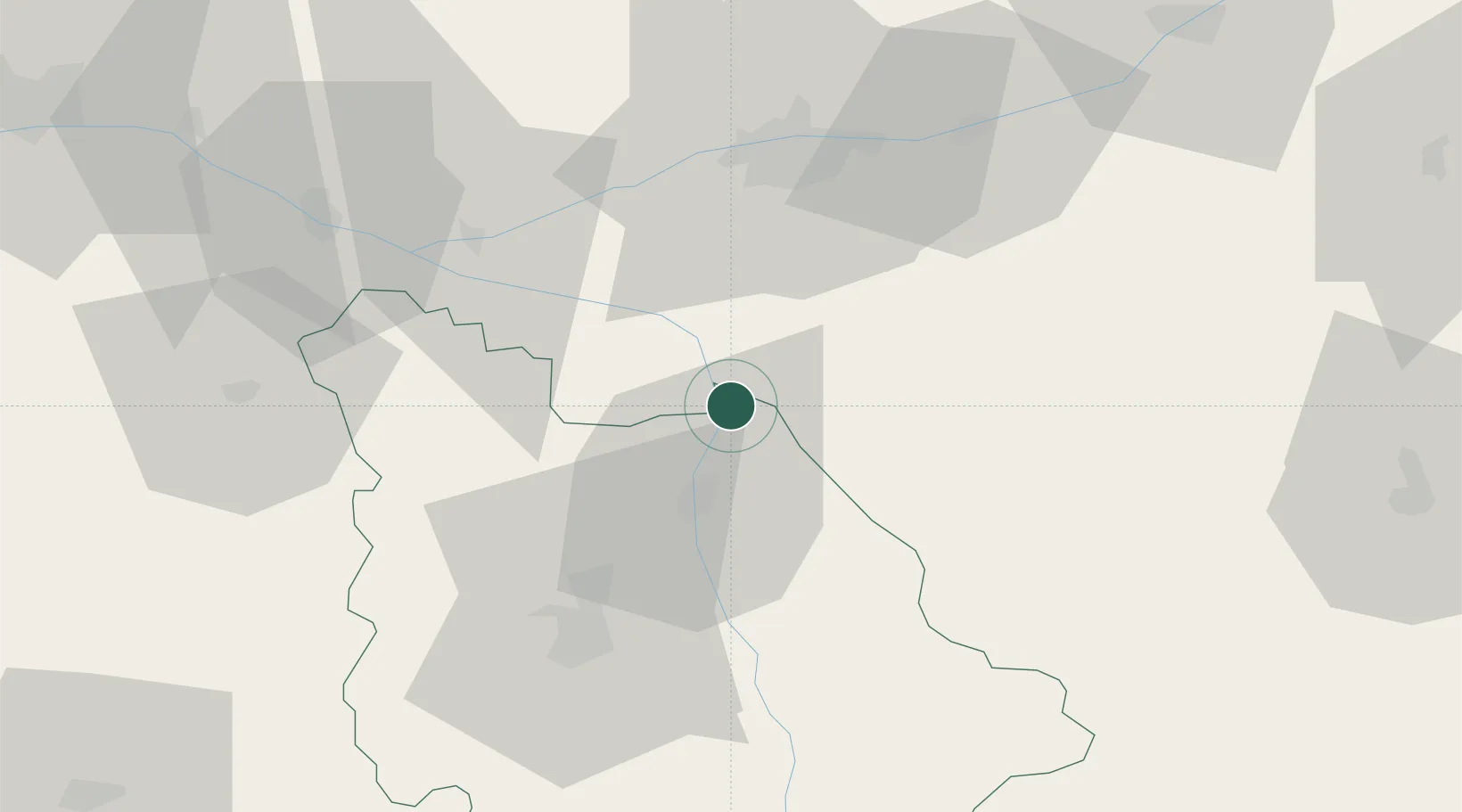
Hub Profile
Place type
Populated place
Region
Nouvelle-Aquitaine
Population
1,537
Time zone
Europe/Paris
Elevation
49 m
Location
Nearby Logistics Neighbours
Cities
- 1Port-de-Piles4 km
- 2Descartes8 km
- 3Availles16 km
- 4Braslou17 km
- 5Barrou17 km
Ports
- 1La Rochelle162 km
- 2Tonnay Charente163 km
- 3La Pallice165 km
- 4Rochefort165 km
- 5Nantes166 km
Airports
- 1Poitiers-Biard Airport48 km
- 2Tours Val de Loire Airport53 km
- 3Châteauroux Déols airport87 km
- 4Angers Marcé airport95 km
- 5Niort - Marais Poitevin Airport105 km
Trade Zones
- 1ZFU Blois85 km
- 2ZFU Angers107 km
- 3ZFU Le Mans118 km
- 4ZFU Bourges132 km
- 5ZFU Orléans138 km
DatabookThe Record of Consolidated Knowledge
France beyond logistics?