Transport Functions
Multimodal
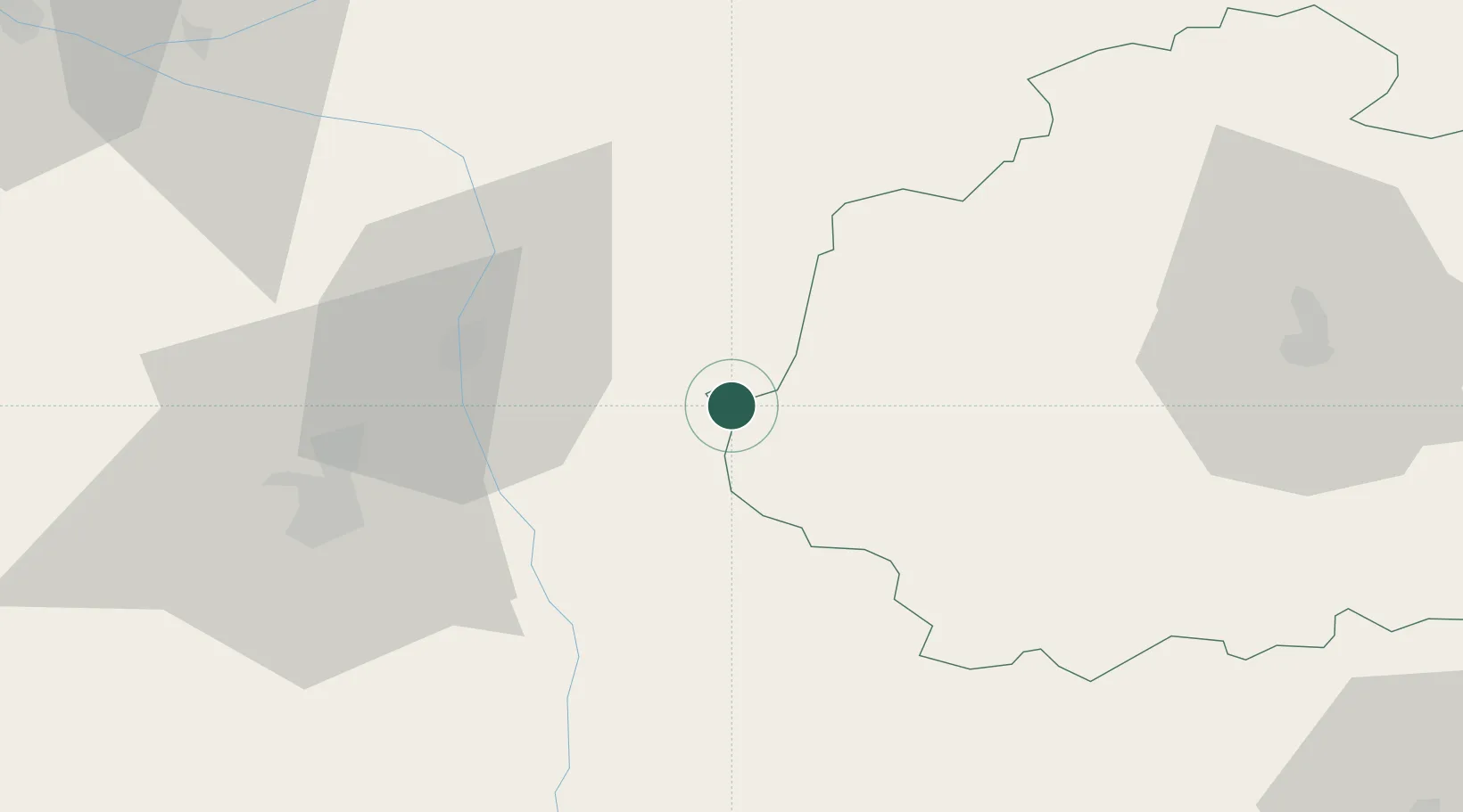
Hub Profile
Place type
Populated place
Region
Centre-Val de Loire
Population
398
Time zone
Europe/Paris
Elevation
79 m
Location
Nearby Logistics Neighbours
Cities
- 1Saint-Pierre-de-Maillé8 km
- 2Barrou19 km
- 3Mézières-en-Brenne24 km
- 4Lanne25 km
- 5Châtellerault30 km
Ports
- 1Tonnay Charente165 km
- 2Rochefort169 km
- 3La Rochelle171 km
- 4La Pallice175 km
- 5Nantes195 km
Airports
- 1Poitiers-Biard Airport49 km
- 2Châteauroux Déols airport63 km
- 3Tours Val de Loire Airport79 km
- 4Limoges Airport99 km
- 5Niort - Marais Poitevin Airport111 km
Trade Zones
- 1ZFU Blois98 km
- 2ZFU Bourges114 km
- 3ZFU Angers142 km
- 4ZFU Orléans145 km
- 5ZFU Le Mans151 km
DatabookThe Record of Consolidated Knowledge
France beyond logistics?